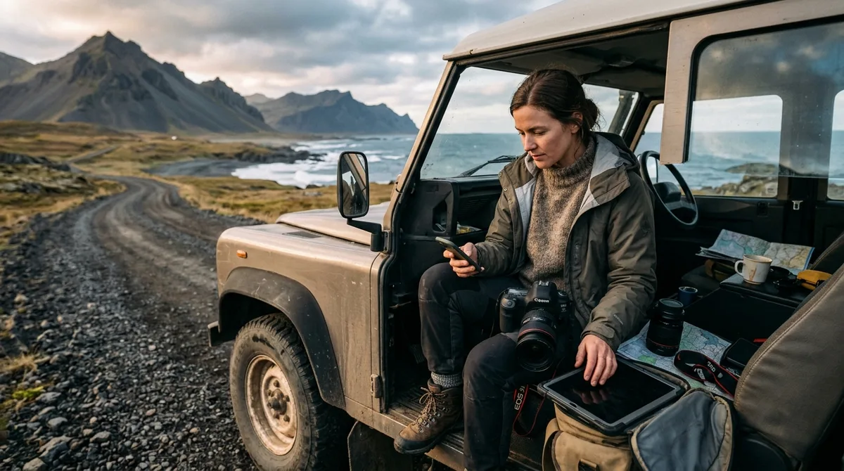
Configuring an Iceland photography map for Maps.me allows landscape photographers to access exact shooting coordinates, parking waypoints, and compositional vantage points without relying on cellular reception. By loading lightweight KML bookmark files directly into the Maps.me offline vector engine, you can navigate gravel corridors, remote coastal fjords, and rugged highland tracks with complete navigational confidence.
When shooting across Iceland's demanding terrain—where sub-polar weather shifts rapidly and cellular dead zones are standard across the interior and deep fjords—having dependable offline maps for photographers is essential. This technical workflow details how to import, organize, and execute field navigation using Maps.me and structured spatial data during your 2026 landscape photography expedition.
Why Maps.me and KML Bookmarks Work for Iceland Landscape Photographers
Maps.me remains a staple utility for outdoor photographers because of its fast, resource-efficient rendering of OpenStreetMap (OSM) vector data. Unlike raster mapping platforms that require caching gigabytes of heavy image tiles, Maps.me parses vector instructions natively on your smartphone processor. This allows smooth zooming, panning, and visual orientation along complex coastal roads and gravel corridors with minimal battery drain.
For landscape shooters, spatial awareness in the field depends on distinct data layers. The KML, GPX and GeoJSON files live on your device, so the waypoints work with no signal. Downloading offline map tiles is a separate step inside your mapping app. Understanding this separation is crucial: your imported bookmark file supplies the exact latitude and longitude pinpoints, while the downloaded offline vector map provides the topographic base layer, road classifications, river crossings, and contour context.
According to the official Google Developers KML Documentation, Keyhole Markup Language (KML) uses an XML-based schema to express geographic annotation, defining discrete <Placemark> elements with specific coordinate pairs, folder structures, and CDATA description blocks. When you load a custom curated Iceland spatial dataset into Maps.me, the app parses these placemarks into custom bookmark lists. This gives you instant point-to-point visual orientation when driving switchbacks in the Eastfjords or navigating unpaved coastal tracks on the Snæfellsnes Peninsula.
Step-by-Step Import: Loading Your Iceland Photography Map for Maps.me
Loading an Iceland photography map for Maps.me requires no complex cloud synchronization or desktop conversions. Buying does not create an account. The files are emailed and downloadable directly. Once you receive your download links on your mobile device, follow these operating-system-specific steps to import your .kml or .kmz bookmark files.
Importing on iOS (iPhone and iPad)
- Download the KML File: Open your delivery email on your iPhone and tap the KML download link. Save the file to the native Files app (stored locally under "On My iPhone" or in iCloud Drive).
- Open in Maps.me: Open the Files app, locate the downloaded
.kmlfile, and long-press the file icon. Tap Share, then select Maps.me from the app share sheet. If Maps.me does not appear in the primary row, scroll right, tap More, and select it from the suggestions. - Automatic Bookmark Ingestion: Maps.me will launch automatically and display a confirmation banner reading "Bookmarks loaded" or "Bookmarks imported successfully".
- Verify Layer Visibility: Tap the Bookmarks/Star icon at the bottom navigation bar. Confirm that your imported Iceland photography collection appears in the list and that the toggle switch next to the folder is active (blue/visible).
Importing on Android
- Download the File: Tap your download link in your mobile browser. The file will be saved directly into your device's
Downloaddirectory. - Launch via File Manager: Open your preferred Android file manager (such as Files by Google or Samsung My Files). Navigate to your
Downloadfolder. - Select Open With: Tap the .kml or .kmz file. When prompted with the "Open with" dialogue, select Maps.me and tap "Just Once" or "often".
- Inspect Bookmarks: Maps.me opens and ingests the XML nodes into your bookmark database. Open your Bookmarks menu to confirm all pins are visible across the Icelandic map canvas.
After importing, verify how metadata displays on your screen. Tapping any individual photo waypoint should reveal its exact title, primary category (such as waterfall, sea stack, or turf church), and geographic coordinates formatted in standard WGS 84 decimal degrees.
Preparing Offline Map Tiles Before Leaving Mobile Coverage
A common mistake when utilizing Maps.me Iceland photography workflows is assuming that importing bookmark waypoints automatically downloads the underlying map. It does not. Vector map tiles must be stored locally on your internal flash storage before departing Keflavík International Airport or your accommodation in Reykjavík.
Maps.me divides Iceland into discrete regional map packages to save device memory. To ensure total offline functionality across the island, execute this download protocol:
- Download All Regional Packages: In Maps.me, navigate to Settings > Manage Maps (or zoom into Iceland while connected to high-speed Wi-Fi). Maps.me will prompt you to download the Iceland map package. Ensure you download both the Capital/South region and the Northern/Westfjords regional packages if prompted separately.
- The total offline map package for Iceland is compact, making it far more lightweight than satellite raster caches. Ensure your phone has at least 1 GB of free internal storage to allow smooth caching of routing vectors and elevation profiles.
- Execute a Pre-Flight Flight Mode Test: Before driving away from reliable cellular connectivity, switch your phone into Airplane Mode with Wi-Fi and Cellular Data disabled. Open Maps.me, zoom into remote regions such as the Westfjords region or the Highlands around Aldeyjarfoss, and confirm that roads, topography lines, and your imported bookmark pins render crisply at maximum zoom levels (levels 15 through 18).
Organizing Waypoints and Categories Inside Maps.me for Daily Shoots
When managing dozens of potential shooting locations across a multi-day itinerary, visual clutter can slow down your decision-making during fast-changing light. Maps.me allows you to group, color-code, and filter bookmarks to match your shooting schedule.
Structuring your pins by geographic sector or light orientation helps you quickly identify alternative compositions when weather forces a pivot. For instance, organizing pins along the South Coast region allows you to evaluate sunrise waterfalls versus sunset sea stacks at a glance.
Data depth varies intentionally across structured spatial datasets. 9 of the 121 locations carry written field notes today. Every location carries coordinates, category and season. Furthermore, 112 of the 121 locations carry a researched brief compiled from published sources, each listing its sources. These are distinct from the 9 locations with written field notes. This structured separation ensures that you have verified geographic coordinates and seasonal access windows for every single location, while deeper compositional guidance is provided on focal viewpoints.
To optimize your in-app organization:
- Color-Code by Priority or Time of Day: Assign distinct pin colors within Maps.me bookmark settings. Use warm colors (red/orange) for primary sunrise and sunset vantage points, and cool colors (blue/green) for midday locations, canyon interiors, or scouting locations.
- Isolate Active Regions: In the Maps.me Bookmarks menu, toggle visibility off for regions you are not visiting that day. This declutters your screen, allowing you to focus purely on nearby shooting targets.
Managing Routing vs. Waypoints: Navigating Remote Iceland Photography Locations
Understanding the operational boundaries of your navigation stack is critical when operating in Iceland's backcountry. The files are waypoints. Your own mapping app — Gaia GPS, OsmAnd, Organic Maps, a Garmin — does the routing.
Maps.me contains an integrated offline routing engine based on OpenStreetMap road topologies. While this routing engine is effective on paved highways like Route 1 (the Ring Road) and secondary asphalt connectors, landscape photographers must exercise extreme caution when calculating routes over unpaved secondary routes and mountain tracks (F-roads).
To navigate safely between remote locations:
- Cross-Check Coordinates Visually: Select your target bookmark pin in Maps.me and inspect the physical road layout leading to the location. Note whether access involves a formal parking lot, an unmaintained farm track, or a foot trail.
- Establish Arrival Buffers: When targeting fleeting golden hour or blue hour lighting conditions, use Maps.me's offline distance calculations as a baseline, then add a 30-to-45-minute contingency buffer to account for slow gravel travel, wind resistance, and gear staging.
Comparing Maps.me with Dedicated GIS and Field Navigation Apps
Maps.me is one of several tools landscape photographers use for field navigation. Selecting the appropriate software depends on whether you prioritize instant visual responsiveness, advanced topographic contour analysis, or dedicated track logging. Compare Iceland Photo Map with the alternatives on their own terms rather than claiming a superlative; the site publishes a sourced comparison at /iceland-photography-guides-compared that concedes where rivals are stronger.
For photographers considering alternative workflows, such as importing spatial data via our Organic Maps import guide, the following table compares key technical capabilities across the primary offline navigation platforms used in Iceland:
| Platform | Map Engine & Base Data | Bookmark / Waypoint Support | Topographic & Contour Detail | Primary Strength in Field |
|---|---|---|---|---|
| Maps.me | Proprietary offline OSM vector engine | KML / KMZ native import | Basic elevation lines & general terrain | Fast rendering, lightweight storage, intuitive pin browsing |
| Organic Maps | Open-source offline OSM vector engine | KML / KMZ native import | Clean vector contours, no telemetry overhead | Zero battery-draining background trackers, 100% open source |
| OsmAnd | Extensible OSM vector & raster engine | GPX, KML, GeoJSON via plugin | High-resolution contour lines & hillshading | Complex GIS layering, customizable terrain shading |
| Gaia GPS | Proprietary cloud & multi-source raster | GPX, KML cloud sync | Satellite imagery, USGS/international topos | Layering satellite imagery over topographic basemaps |
| Dedicated GPS (Garmin) | Proprietary Garmin TOPO / OSM IMG files | GPX native via USB / BaseCamp | Vector contours with dedicated GNSS chipsets | Physical durability, AA battery swappability, extreme cold reliability |
Essential Field Workflow: Combining an Iceland Photography Map for Maps.me with Live Safety Tools
No offline mapping app operates as a standalone safety system in sub-Arctic environments. The files carry season and access notes, not live conditions. Check vedur.is and road.is for current weather and road status.
A professional landscape photography field routine requires cross-referencing your static offline waypoints with dynamic environmental data every morning and evening:
1. Morning Environmental Briefing
- Check Wind and Precipitation: Consult the Icelandic Meteorological Office (vedur.is) for sustained wind speeds and gust warnings. Gusts exceeding 15–20 m/s (35–45 mph) can tear vehicle doors off hinges and make tripod stability impossible along coastal bluffs.
- Check Road Openings and Passability: Inspect the official road authority portal (road.is) for icy surfaces, impassable mountain passes, or closures caused by river surges.
- Submit Travel Plans: For photographers heading into remote regions, submit your daily route to the Icelandic Association for Search and Rescue via SafeTravel.is.
2. Cold-Weather Device and Battery Management
Running continuous GPS location services in freezing Icelandic temperatures dramatically accelerates lithium-ion battery depletion. To ensure your navigation remains operational throughout a shoot:
- Keep the Phone Insulated: Store your primary navigation device in an internal jacket pocket close to your body heat rather than on an unheated vehicle dashboard or exterior tripod pocket.
- Toggle Display Power: Turn off the smartphone display while driving long highway stretches between locations; Maps.me does not require the screen to remain continuously illuminated to maintain GPS lock.
- Carry Dedicated Power Banks: Pack a temperature-stable external battery bank (10,000 to 20,000 mAh) and keep it insulated inside your camera bag.
Troubleshooting Common Bookmark Import and GPS Coordinate Errors
If you encounter issues while importing or viewing your spatial files, use these troubleshooting steps to resolve the problem:
KML Description Tags Not Showing
If tapping a pin shows coordinates but no description, ensure that your mapping application is updated to the current version. Maps.me periodically updates its KML parsing engine to support extended CDATA blocks. If metadata fails to render, force-quit the application and re-import the uncompressed .kml file rather than a .kmz archive.
Map Shows Pins in the Ocean or Wrong Hemispheres
Iceland lies in the North Atlantic between latitudes 63° and 68°N, and longitudes 13° and 25°W. Coordinates must be expressed with positive latitude (North) and negative longitude (West) in standard decimal degree format (e.g., 64.1466, -21.9426 ). The coordinates are published as an open CC-BY dataset. What is sold is the curation, the formats and the season and access notes — not secrecy. If you ever compile custom spatial data from disparate sources, double-check that your longitude values carry the negative symbol required for the Western Hemisphere.
Device Compatibility and File Support
If you run into persistent technical hurdles loading your spatial data, technical support is available to resolve formatting conflicts. If the file does not load on your device, email within 30 days and we either get it working or refund you.
Frequently Asked Questions
How do I import a KML file into Maps.me on an iPhone or Android device?
On iOS, download the KML file to your Files app, tap the Share icon, and select Maps.me to ingest the bookmarks. On Android, open your file manager, locate the downloaded KML file in your Download directory, tap it, and select Maps.me in the "Open with" dialogue. The bookmarks will load automatically into your saved lists.
Can Maps.me provide offline driving directions to remote photography locations?
Maps.me includes an offline point-to-point routing engine based on OpenStreetMap data. However, while it routes effectively along paved highways and maintained secondary roads, it cannot evaluate real-time F-road passability, river crossing depths, or winter snow closures. Photographers should use Maps.me routing with caution and verify road status via official local sources.
Do KML waypoints in Maps.me update automatically with live Iceland road closures?
No. KML bookmark files contain static spatial coordinates, parking positions, and access notes. They do not maintain a live server connection for road conditions or weather alerts. You must consult road.is for real-time passability and vedur.is for weather warnings before traveling.
What should I do if my Iceland photography bookmarks fail to load in Maps.me?
First, verify that your Maps.me app is updated to the current release. If the file still fails to open from your mobile browser, save it locally to your device storage first, or email the file to yourself and open the attachment directly within your native mail client. Ensure the file extension is .kml or .kmz .
Download curated Iceland photography waypoints in KML and GPX formats to plan your self-guided landscape trip with full offline reliability.