Birds Locations in Iceland
9 curated GPS coordinates
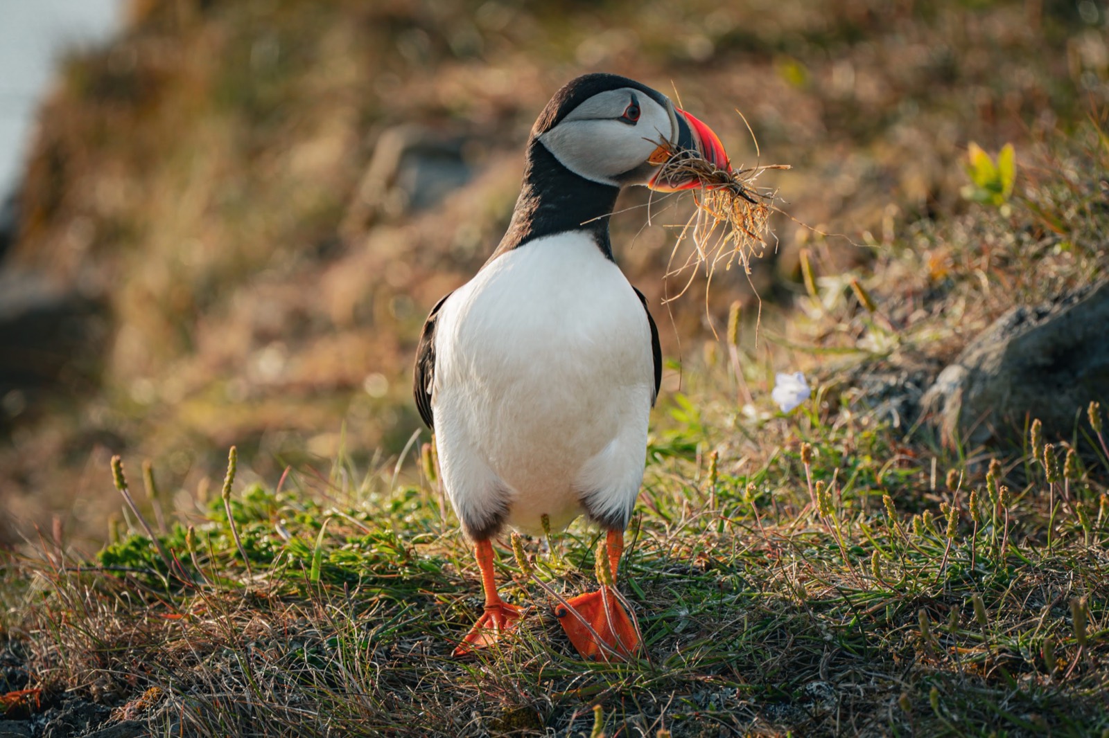
Locate Iceland bird photography sites with GPS waypoints for puffin colonies, seabird cliffs, nesting areas, and coastal viewpoints where timing and access matter. The bird map includes seasonal notes so you can plan around the reliable puffin window and avoid wasting travel days on sites that are poor fits outside nesting season.
Secure checkout by Stripe · refund & terms
Every location, at its real position
9birds locations
Loads an interactive map · about 250 KB
Popular birds locations in this map
Photographer field notes
- Stay on marked paths and behind ropes. Use a longer lens rather than moving toward nests, burrows, or a bird changing its behavior.
- For eye-level photographs, use an established viewing area and lower your camera without crawling toward the colony edge.
- A 300-500mm lens is useful for flight and more distant birds; support it with a tripod or monopod where the site permits.
- At Latrabjarg and similar colonies, keep well back from the edge: turf can overhang empty space and crumble without warning.
An Island north of Iceland. Take the ferry from Dalvik. Grimsey Island is far away in the north: Home of one hundred people and one million seabirds.
A 49-hectare island in the mouth of Steingrímsfjörður, less than 2 km off Drangsnes in the Westfjords, holding one of the larger puffin colonies in Iceland. Reached by a short boat trip from the village.
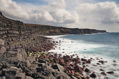
The great stretch of cliffs at Krýsuvíkurbjarg are amongst the best bird-watching sites in Iceland.
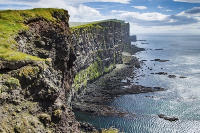
Látrabjarg is a promontory and the western most point in Iceland. The cliffs are home to millions of birds, including puffins, northern gannets, guillemots and razorbills.
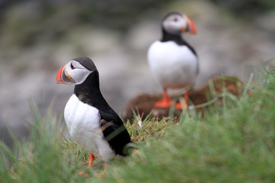
The largest island in Breiðafjörður, with a restored village of traditionally painted houses. The eastern part of the island is a nature reserve: all traffic is prohibited from 15 April to 15 July, and drones need a permit.
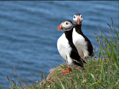
Patreksfjörður is an Icelandic village in Westfjords with 687 inhabitants.
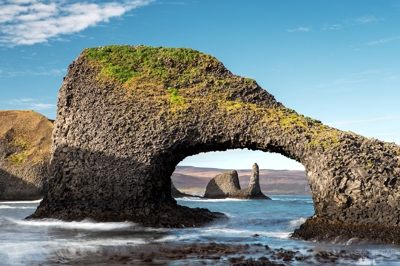
Rauðanes means Point Red and it is one of the pearls in Icelandic nature.
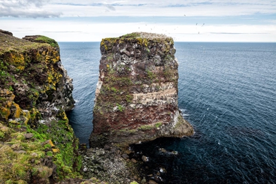
A cape in the northern part of Iceland north of Kópasker. Good for bird watching.
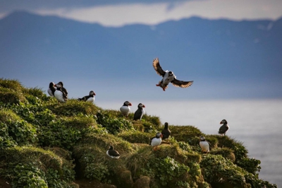
A bird viewpoint in Tjörneshreppur Iceland. "Voladalstorfa" is about 12 kilometers (8 miles) from Husavik.
Before you buy
- Mid-May through mid-August is the reliable window. Puffins arrive to nest in late April and leave for the sea by late August. The map flags the peak window for each colony.
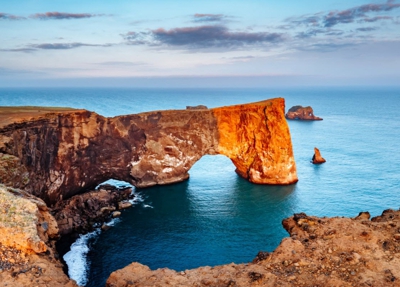
- Látrabjarg, Dyrhólaey, Borgarfjörður Eystri, Grímsey, the Vestmannaeyjar islands, and several smaller colonies. Plus other seabird sites — fulmars, arctic terns, kittiwakes.
- Every map ships in all three formats so you don't have to choose. Use GPX for Gaia GPS, Garmin, or most outdoor apps. Use KML for Google Maps and Google Earth. Use GeoJSON for custom tooling or web maps.
- Yes. Once you import the file into an app like Google Maps (My Maps), Gaia GPS, or Maps.me, the waypoints are stored on your device and work without cell service — which matters, because Iceland's coverage is patchy outside the Ring Road.
- We have step-by-step guides for Google Maps, Google Earth, and Gaia GPS. Most imports take under two minutes.
- Yes — pay once and download the files immediately. There's no subscription. Your download link serves the current files for a year, so when we add locations to a category you can re-download and get them.
- Yes. The files are yours to load onto your phone, a second phone, a tablet, a handheld GPS, or your laptop. Personal-use license.