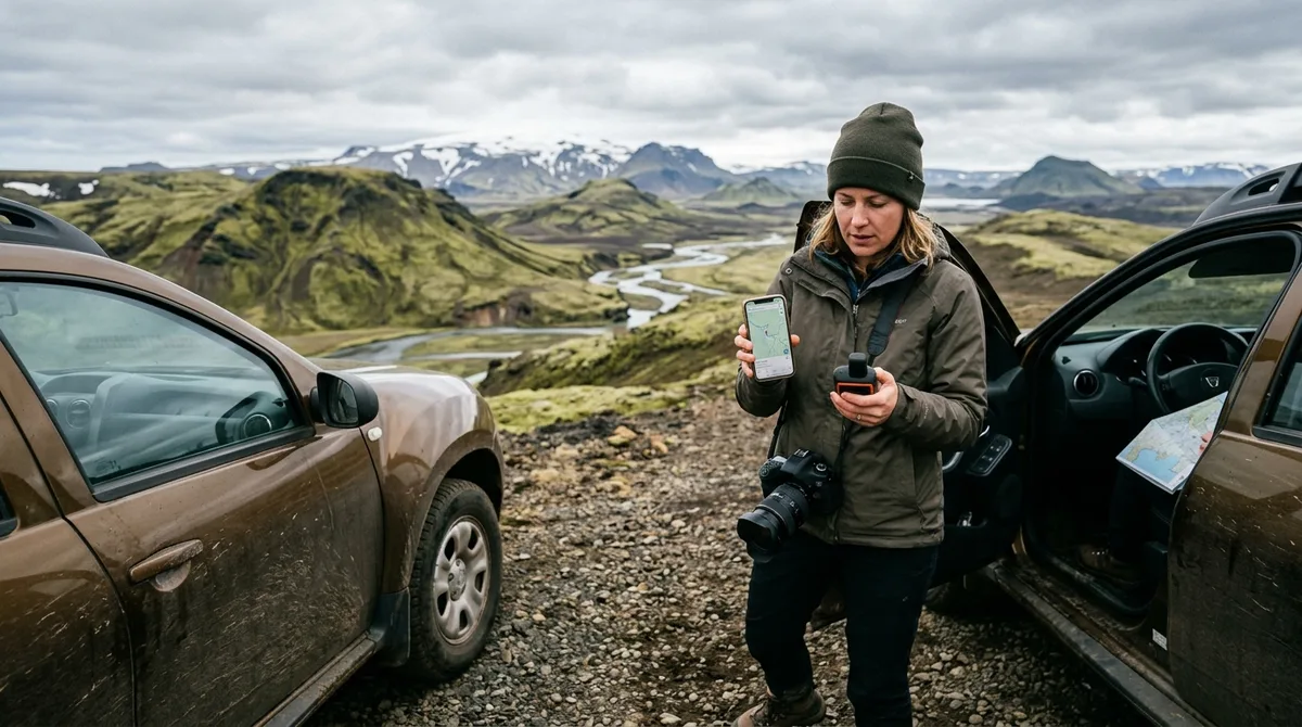
An Iceland photography map KML file provides exact geographical coordinates, access descriptions, and composition points directly inside your preferred GPS navigation software. By importing a structured KML file for Iceland photography into tools like Google My Maps, Gaia GPS, or Google Earth, landscape photographers eliminate guesswork when scouting remote waterfalls, volcanic calderas, and coastal headlands across the island.
Executing a successful landscape photography expedition across Iceland requires precise spatial planning. Lighting conditions change rapidly in sub-Arctic latitudes, and driving between locations often involves navigating single-lane bridges, unpaved gravel paths, or remote mountain F-roads. Managing your shooting locations through a clean, portable geographic dataset ensures that parking areas, trailheads, and specific vantage points are loaded on your devices long before you lose cellular connectivity.
Why an Iceland Photography Map KML File Is the Core of Field Planning
Keyhole Markup Language (KML) is an XML-based file format originally developed for Keyhole Earth Viewer (which later became Google Earth). Standardised internationally by the Open Geospatial Consortium (OGC), KML remains the gold standard for distributing geographic data that contains rich visual styling, nested folders, HTML-formatted descriptions, and precise point coordinates.
When preparing an itinerary, relying on bookmarked links inside web browsers or generic search queries frequently leads to navigation failures in the field. Iceland Photo Map sells downloadable files. Nothing is printed or posted. Photographers receive clean geographic datasets designed to be imported directly into dedicated mobile mapping and desktop GIS applications.
The files are waypoints. Your own mapping app — Gaia GPS, OsmAnd, Organic Maps, a Garmin — does the routing. This architecture gives photographers total flexibility over their hardware and software stack. Buying does not create an account. The files are emailed and downloadable directly. You can inspect our step-by-step setup guides to understand how simple it is to archive and distribute these spatial layers across multiple field devices.
A properly structured Iceland photography map KML file contains individual <Placemark> elements that define exact longitude, latitude, and elevation coordinates based on the WGS 84 spatial reference system. Beyond basic coordinates, custom KML files embed structured metadata inside <ExtendedData> tags, giving photographers immediate access to composition angles, seasonal accessibility tags, and terrain constraints directly on their map interface.
Importing KML to Google Maps and Google My Maps
Importing KML to Google Maps is one of the fastest ways to visualise photography targets alongside standard road networks. While the standard consumer Google Maps mobile application does not allow direct, native local file uploads from your handset's storage, Google My Maps bridges this gap seamlessly through your Google account on desktop.
Desktop Setup in Google My Maps
- Navigate to Google My Maps in your desktop browser and select Create a New Map.
- Click the Import button situated directly under the untitled map layer.
- Drag and drop your uncompressed
.kmlfile into the upload modal. Note that according to the Google My Maps Help Center, custom map layers accept KML or KMZ files up to 5MB in size. - Once imported, organise your layers into logical photography themes—such as waterfalls, sea stacks, turf churches, or aurora viewpoints.
- Customise the visual pins using uniform styling or color-code by subject type to make scanning the map intuitive during low-light field conditions.
Accessing Custom Layers on Mobile
Once saved in Google My Maps on your desktop, the custom layer automatically syncs with your Google account. To view your photography points on your mobile device:
- Open the native Google Maps application on iOS or Android.
- Tap the Saved tab in the bottom navigation bar.
- Scroll to the bottom and tap Maps.
- Select your imported custom photography map. The custom pins will overlay directly onto the standard Google Maps vector basemap.
If you are working with alternative spatial formats, you can review our technical tutorial on importing geospatial data for mobile navigation on iOS devices.
Limitations of Google Maps for Iceland Field Work
While Google My Maps is convenient for initial itinerary planning, it presents distinct operational limitations in remote sub-Arctic regions. Google Maps allows offline downloading of standard road map tiles, but custom My Maps overlay layers are not intended to render reliably when your mobile device is completely disconnected from cellular networks. Complex custom overlays often fail to load when roaming in remote valleys, making secondary offline tools essential.
Using an Iceland Photography Map KML File in Gaia GPS and Earth Tools
Professional landscape photographers operating in Iceland require robust terrain visualisations and intended offline access. Dedicated field applications such as Gaia GPS and Google Earth Pro deliver capabilities that standard street-level navigation apps cannot match.
Importing KML into Gaia GPS
Gaia GPS is a top-tier outdoor navigation platform for backcountry route planning, hiking trails, and offline topo layers. Integrating an Iceland photography map KML file into Gaia GPS gives you reliable access to rugged terrain data:
- Log into your web portal at GaiaGPS.com.
- Navigate to Upload Data and select your KML file.
- Gaia GPS parses the placemarks, converting them into native waypoints and folders.
- Open the Gaia GPS application on your mobile device and initiate a sync. All waypoint titles, notes, and coordinate data will populate immediately.
- Download offline map layers—specifically satellite imagery and detailed topographic contours—covering your target photography regions before departing.
For detailed workflows, see our dedicated guide on Gaia GPS KML integration.
Scouting Light and Shadow in Google Earth
Desktop applications like Google Earth Pro utilize the full specification of Keyhole Markup Language defined in the Google Developers KML Reference. Loading your photography waypoints into Google Earth desktop allows you to conduct deep 3D terrain scouting:
By enabling the Sun tool slider in Google Earth Pro, you can simulate the exact solar azimuth and elevation angle for any specific date and time in 2026. This allows you to determine whether a steep canyon wall will cast deep shadows over a waterfall basin during morning golden hour, or whether the midnight sun will illuminate a mountain peak unobstructed by surrounding ridges. You can study these topographic workflows further in our guide to Google Earth photo scouting.
The KML, GPX and GeoJSON files live on your device, so the waypoints work with no signal. Downloading offline map tiles is a separate step inside your mapping app. Data structure transparency is paramount when working with large waypoint collections: 9 of the 121 locations carry written field notes today. Every location carries coordinates, category and season. Furthermore, 112 of the 121 locations carry a researched brief compiled from published sources, each listing its sources. These are distinct from the 9 locations with written field notes.
Navigating Offline in Remote Regions and the Highlands
Mobile cellular infrastructure in Iceland is exceptionally good along the primary Route 1 Ring Road. However, dramatic terrain topography creates extensive cellular dead zones throughout the Westfjords, deep inside the East Fjords, along coastal cliffs, and across the vast interior Highlands.
Venturing to remote photography subjects—such as the basalt amphitheater of Aldeyjarfoss or the dramatic coastal tracks of the Westfjords region—means operating without real-time data connectivity. If your navigation software relies on real-time server requests to load waypoint metadata or background basemaps, you will find yourself unable to locate parking turnouts or trail junctions.
Standalone offline mapping applications such as OsmAnd, Organic Maps, and Gaia GPS excel in these environments. These applications store OpenStreetMap vector tiles locally on your device's internal flash storage. When paired with an imported KML file for Iceland photography, your handset's internal GPS receiver plots your real-time position against the cached map layer with zero data consumption.
Dynamic environmental conditions present real hazards during Icelandic photo expeditions. River crossings, sudden gale-force wind shifts, blowing tephra, and snowdrifts can quickly alter road access. The files carry season and access notes, not live conditions. Check vedur.is and road.is for current weather and road status before heading out into the field.
Managing Waypoint Metadata: Coordinates, Seasons, and Access Notes
A high-quality photography waypoint contains far more than a single set of GPS coordinates. In landscape photography, knowing where to park your vehicle versus where to place your tripod legs can mean the difference between a clean shot and missing the optimal light window entirely.
Structuring Metadata inside KML Files
Modern KML datasets store rich descriptive attributes inside structured schema tags. Key metadata fields include:
- Vantage Coordinates: The precise location for setting up your tripod.
- Parking & Trailhead Coordinates: The designated parking area or pull-off point, avoiding illegal off-road driving or stopping on narrow road shoulders.
- Hike Distance & Difficulty: Estimated one-way hiking duration and terrain grade (e.g., loose scree, river wading, boardwalk).
- Seasonal Windows: Guidance detailing whether a location is accessible during winter months or strictly restricted to summer 4x4 Highland travel.
- Optimal Lighting Guidance: Recommended lighting conditions (e.g., low-angle midnight sun, overcast soft light for canyon waterfalls, or open north-facing skies for aurora compositions).
The coordinates are published as an open CC-BY dataset. What is sold is the curation, the formats and the season and access notes — not secrecy. Photographers who want raw coordinates can consult our open geospatial dataset, while those seeking pre-packaged, multi-format spatial bundles use our structured downloads to save dozens of hours of manual cataloging.
Inside your mapping software, you can filter and display these waypoints according to your operational needs. For instance, you can create dedicated layers for waterfalls, geothermal fields, or coastal seascapes, styling each with unique icons for quick field scanning.
Troubleshooting Common KML Import Errors
While KML is an open standard, inconsistencies in software implementations can occasionally cause import errors. Below are practical solutions to common KML file import issues.
1. File Size Limits in Google My Maps
Google My Maps imposes a strict 5MB limit on uploaded KML files. If an import fails due to file size, the dataset likely contains embedded raster imagery, custom icon bundles, or heavy polygon boundaries. To fix this:
- Strip unnecessary polygon tracking data or embedded graphics using desktop GIS tools like QGIS or Google Earth Pro.
- If working with a KMZ file (a zipped KML archive), rename the file extension from
.kmzto.zip, extract the archive, and upload the baredoc.kmlfile directly.
2. Character Encoding and Special Icelandic Characters
Icelandic place names frequently use non-standard Latin characters, such as Þ (Th), Ð (Eth), Æ (Ae), and Ö. If a navigation application displays garbled text (mojibake) in location titles, the file's text encoding has likely been corrupted during export.
Ensure that your KML file is strictly encoded in UTF-8. Opening the .kml file in a text editor (such as VS Code or Sublime Text) will allow you to verify the XML header declaration: <?xml version="1.0" encoding="UTF-8"?>.
3. Truncated or Swapped Latitude/Longitude Coordinates
The KML specification mandates coordinate order as Longitude, Latitude, Altitude (e.g., -19.0543, 63.5321, 0), whereas standard GPS notation and GPX files order coordinates as Latitude, Longitude. If your placemarks appear in Antarctica or in the middle of the Indian Ocean, the importing application may have inverted the coordinate sequence.
Our pre-compiled datasets undergo strict coordinate syntax validation across all supported mapping engines. If the file does not load on your device, email within 30 days and we either get it working or refund you.
Comparing KML with GPX and GeoJSON for Field Shooting
Depending on your hardware and software setup, KML may not often be the optimal spatial format for your trip. Understanding the technical distinctions between KML, GPX, and GeoJSON ensures you deploy the right file format to the right device.
| Feature / Criterion | KML (Keyhole Markup Language) | GPX (GPS Exchange Format) | GeoJSON (Geographic JSON) |
|---|---|---|---|
| Primary Use Case | Google Maps, Google Earth, Gaia GPS, desktop scouting | Garmin handhelds, dedicated vehicle GPS units, hiking watches | Web mapping applications, GIS workflows, custom software scripts |
| Data Format | XML-based with rich styling tags | XML-based, strict schema for GPS hardware | JSON-based standard (RFC 7946) |
| Styling Support | High (supports custom pin colors, icons, line widths) | Low / Minimal (relies on device-default symbol sets) | External (styling handled via Leaflet/Mapbox CSS) |
| Folder / Hierarchy Support | Excellent (nested folders and layer grouping) | Limited (flat waypoint lists and tracks) | Flat FeatureCollection structures |
| Offline Device Compatibility | Broad mobile mapping support (Gaia GPS, Organic Maps) | Universal GPS receiver standard (Garmin, Suunto, Coros) | Requires web viewer or advanced GIS apps (e.g., QGIS) |
For comprehensive itinerary planning across desktop and mobile devices, an Iceland photography map KML file provides the optimal balance of visual hierarchy and metadata richness. For dedicated outdoor navigation hardware like a Garmin Montana or GPSMAP handheld, the GPX format is preferred due to its native firmware compatibility.
Compare Iceland Photo Map with the alternatives on their own terms rather than claiming a superlative; the site publishes a sourced comparison at Iceland photography guide comparisons that concedes where rivals are stronger.
Frequently Asked Questions
Can I open an Iceland photography map KML file directly in Google Maps on my phone?
You cannot directly open a raw KML file from your phone's internal storage inside the standard Google Maps mobile app. Instead, you must first import the KML file into Google My Maps on a desktop web browser. Once saved to your Google account, the custom layer will appear automatically in the mobile Google Maps application under the "Saved" > "Maps" menu on both iOS and Android.
Do I need an active internet connection to see my KML waypoints in Iceland?
If you are using dedicated offline mapping applications such as Gaia GPS, OsmAnd, or Organic Maps, you do not need an internet connection to view your waypoints. The KML waypoints are stored locally on your device's internal storage. However, you must remember to download the underlying offline map tiles for Iceland within your chosen mapping app before leaving cellular coverage, as map basemaps and waypoint files are stored independently.
What is the difference between a KML file and a GPX file for photography navigation?
A KML file is designed for rich visual mapping, supporting nested folder structures, custom icon colors, and formatted HTML descriptions, making it ideal for Google Earth, Google My Maps, and Gaia GPS. A GPX file uses a strict, lightweight XML schema designed for universal compatibility with standalone GPS hardware receivers (such as Garmin handheld devices) and outdoor GPS sports watches.
Will importing a KML file provide turn-by-turn driving directions in the field?
No. A KML file contains geographic waypoints, boundary lines, and descriptive metadata, but it does not contain an embedded routing engine. When you tap a waypoint within your mobile navigation software (such as Gaia GPS, Google Maps, or Organic Maps), your device's navigation software calculates the routing and driving directions using its own routing engine and base map data.
Download the curated Iceland Photo Map dataset in KML, GPX, and GeoJSON formats to start planning your custom shooting locations across Google Maps, Gaia GPS, or Google Earth.