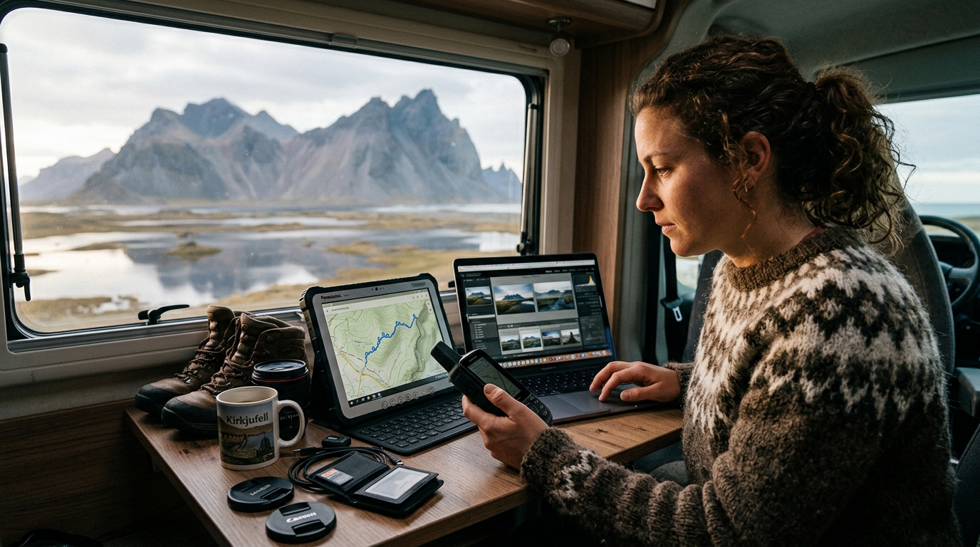
Integrating Iceland photography map GPX files into your mobile navigation workflow is the most effective way to transition from vague location ideas to precise, on-the-ground execution. By utilizing standardized GPS Exchange Format (GPX) data, you can import curated waypoints directly into robust mapping applications, ensuring you spend less time searching for trailheads and more time composing your shots in the field. This systematic approach to location scouting minimizes the risk of missing optimal light conditions while navigating Iceland’s rugged terrain.
Why Iceland Photography Map GPX Files Are Essential for Field Work
The core difference between browsing static images on a website and using GPX files for Iceland photography lies in the utility of spatial data. A static image offers inspiration, but a GPX waypoint provides a precise coordinate that your device understands as a physical destination. These files bridge the gap between planning and execution by removing the guesswork associated with finding remote locations, such as hidden waterfalls or specific coastal rock formations.
It is important to understand the technical division of labor here. The GPX files provided by Iceland Photo Map contain coordinates and metadata—such as category, season, and access notes—but they are not routing engines. Your chosen mapping app, such as Gaia GPS, OsmAnd, or a dedicated Garmin unit, handles the actual pathfinding and routing. The GPX file acts as the "where," while your app acts as the "how." By using these files, you ensure that you are navigating to the exact spot identified during your research, rather than a generic location marker that might be miles away from the intended vantage point.
Choosing the Right Mapping App for Your Iceland Expedition
Selecting the correct application is a foundational step for any landscape photographer. Because Iceland features vast, remote regions where cellular connectivity can be unreliable, offline capabilities are a critical requirement. You need an app that allows you to download detailed map tiles—topographic or satellite—before you leave your accommodation. While standard navigation tools like Google Maps are useful for driving between towns, they often lack the specialized features required for off-road or trail-based photography, such as track recording, waypoint management, and custom overlay support.
| Feature | Gaia GPS | OsmAnd | Organic Maps |
|---|---|---|---|
| Offline Capability | Excellent | Excellent | Good |
| Waypoint Management | Advanced | Advanced | Basic |
| UI/UX Complexity | High | Medium | Low |
| Best Use Case | Pro-level planning | Detailed navigation | Quick, simple access |
For photographers, Gaia GPS and OsmAnd are generally preferred over simpler alternatives because they allow for better organization of waypoints into folders. You might, for example, want to separate your waterfall locations from your church photography spots to keep your map view clean during a shoot. This organizational structure prevents map clutter and allows you to toggle specific categories on or off depending on the day's weather or light conditions.
Step-by-Step: Importing Iceland Photography Map GPX Files to Gaia GPS
Importing waypoints to Gaia GPS is a straightforward process that significantly enhances your field workflow. Once you have downloaded your file package from your account, follow these steps:
- Download the File: Ensure you have the GPX file saved to your device’s local storage or a cloud service like iCloud or Google Drive.
- Open Gaia GPS: Navigate to the "Saved" or "Folders" tab within the application.
- Select Import: Tap the "Import" button (often represented by a plus sign or an upload icon).
- Select the File: Navigate to the location where you saved the GPX file and select it. The app will parse the XML-based data, which follows the technical standards for GPS Exchange Format.
- Organize: Once imported, the waypoints will appear as a new collection. We recommend moving these into a specific folder named "Iceland Trip 2026" or organizing them by region, such as the South Coast, to improve visibility.
Managing Waypoints and Metadata in the Field
The power of a high-quality GPX file is not just in the coordinate, but in the associated metadata. When you tap on a waypoint in your app, you should be able to see the specific notes provided in our dataset. Every location includes vital data such as the category and the recommended season for photography. This information is crucial for deciding whether a location is worth the hike during your specific travel window.
Always remember that your map data is only one part of your preparation. Because conditions in Iceland change rapidly, you must combine your map data with official sources. Always check the Icelandic Meteorological Office for the latest weather and aurora forecasts, and consult the Icelandic Road and Coastal Administration for real-time road conditions before heading out, especially during the shoulder seasons. Relying on real-time data from these official sources is a standard safety practice for all travelers in the region.
Troubleshooting Common Import Issues
If you encounter difficulties, the issue is often a minor compatibility error or a user-interface hurdle related to layer visibility. If your waypoints do not appear on your map layer, ensure that the folder or collection containing the waypoints is set to "Visible" or "Show on Map" within your app settings. Some users may accidentally import the file but leave the layer hidden by default.
If a file format error persists, verify that you are using the correct file type for your device. If you find that a file simply fails to load, please contact the Iceland Photo Map support team within 30 days of your purchase. We are committed to ensuring the data works on your specific device, and we will provide technical support to get it operational or assist with the file structure if the issue cannot be resolved.
Optimizing Your Itinerary with Curated Location Data
The most successful photography trips are those that balance rigid planning with the freedom to explore. You can use our open dataset to build custom trip plans, combining our vetted locations with your own discoveries. Whether you are following a 7-day Iceland photography itinerary or exploring the East Iceland region, the GPX files serve as your anchor points. We recommend marking your "must-shoot" locations as primary waypoints and using the rest of the map as a secondary guide for spontaneous exploration.
By cross-referencing the researched briefs included in our dataset with your map, you can gain a deeper understanding of the history and photographic potential of a site before you arrive. This preparation allows you to anticipate the best angles and potential obstacles at each location, which is particularly helpful when visiting sites with limited access or specific environmental sensitivities.
Best Practices for Data Integrity and Offline Safety
It is a standard safety recommendation for travelers in the Icelandic highlands or remote coastal areas to avoid relying solely on cellular data for navigation. Before leaving your hotel or accommodation, ensure you have downloaded the offline map tiles for the entire region you plan to visit. Most professional apps allow you to choose a resolution; select the highest resolution possible to ensure you can see terrain details like ridgelines and small trails, which are essential for safe navigation in Iceland's wilderness.
Back up your GPX files to a cloud service that is accessible offline. In the event of a device failure, having your data synced to a secondary device—such as a tablet or a partner's phone—can save your trip. Finally, cold weather significantly impacts battery life. Keep your device in an internal pocket close to your body heat and consider carrying a high-capacity power bank to ensure your GPS remains active throughout the day. These precautions are standard for professional photographers working in sub-arctic environments.
Frequently Asked Questions
Can I use these GPX files with any GPS device?
Yes. Because the GPX format is a universal standard, our files are compatible with almost all GPS hardware and software, including Garmin units, Gaia GPS, OsmAnd, and other mapping applications that support waypoint imports.
Do the GPX files include turn-by-turn driving directions?
No. The files provided are waypoints. Your own mapping app—such as Gaia GPS, OsmAnd, Organic Maps, or a dedicated Garmin device—handles the routing and provides the turn-by-turn directions based on the roads and trails it has mapped.
What should I do if I cannot get the file to load on my phone?
First, ensure you have an app installed that is capable of importing GPX files. If the file still fails to load, please check your app’s import settings. If the file remains incompatible, contact us within 30 days of purchase, and we will work with you to resolve the technical issue.
Are these coordinates secret or exclusive?
No. The coordinates are published as an open dataset. What you are purchasing is the curation, the file formatting, and the associated season and access notes—not access to secret or exclusive locations.
Ready to streamline your next shoot? Download the latest Iceland photography map GPX files and start planning your route today. Whether you are looking to refine your landscape photography or capture the perfect lighthouses, our tools are designed to help you spend more time behind the lens and less time looking at a screen.