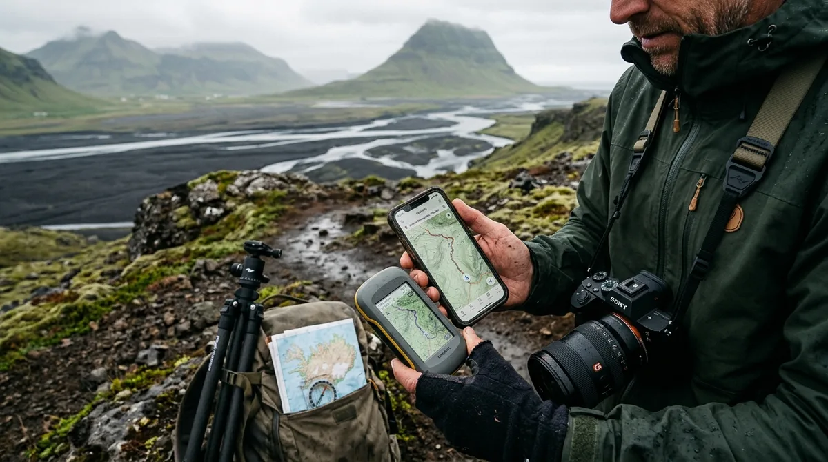
Iceland photography map GPX file compatibility depends on standard GPS Exchange Format (GPX 1.1) schema validation, ensuring discrete coordinates for landscape setups, parking areas, and track pull-offs import seamlessly into Gaia GPS, OsmAnd, Locus Map, Organic Maps, and Garmin units. The KML, GPX and GeoJSON files live on your device, so the waypoints work with no signal. Downloading offline map tiles is a separate step inside your mapping app. The files are waypoints. Your own mapping app — Gaia GPS, OsmAnd, Organic Maps, a Garmin — does the routing. Every entry across all 121 field-checked locations carries precise coordinates, such as Aldeyjarfoss (65.3665° N, 17.3369° W), establishing immediate compatibility across modern navigation platforms.
Iceland Photography Map GPX File Compatibility: Standard Schema and App Requirements
When scouting photographic compositions along Iceland's gravel F-roads and coastal headlands, navigation failure is usually a software syntax error, not a GPS hardware failure. The standard XML-based GPX format uses defined schemas maintained by the Topografix GPX 1.1 specification. This specification establishes uniform data structures for geographic coordinates, elevations, timestamps, and descriptive tags. Ensuring reliable Iceland photography map GPX file compatibility means understanding how different field navigation engines parse these XML elements.
A standard GPX file organizes geospatial information into three primary object types:
<wpt>(Waypoint): A single, independent point of interest defined by latitude, longitude, and optional elevation, along with descriptive text tags.<rte>(Route): An ordered list of route points representing a planned path between navigation stages.<trk>(Track): An ordered sequence of track points recording a historic breadcrumb trail or high-density path polyline.
For field landscape photography, waypoint accuracy takes precedence over rigid routing lines. A photography map built around the GPX file format for landscape photography isolates the exact physical position where you must plant your tripod — whether that is the base of basalt columns or an elevated cliff edge — alongside the specific pull-off or parking footprint where a vehicle can legally stop. Because the files are waypoints, your mapping engine calculates routing based on your current location, vehicle capabilities, and chosen base maps.
Offline execution is critical across Iceland's rural landscape. Between Vik and Höfn on the southern ring road, cellular data drops in deep outwash valleys and mountain shadows. In the Westfjords or Highlands, signal loss is the baseline condition. The KML, GPX and GeoJSON files live on your device, so the waypoints work with no signal. Downloading offline map tiles is a separate step inside your mapping app. If you store the waypoint payload locally but fail to cache vector or raster map layers for the Suðurland or Norðurland eystra regions before departure, your phone will pinpoint your coordinates on a blank grid. You can verify this behavior yourself beforehand: download the free 3-location sample pack (GPX, KML, GeoJSON) at /sample to test compatibility with your mapping app before your journey.
GPX File Format for Landscape Photography: Waypoint Tags vs Route Geometry
A route polyline tells you how to drive from your cabin to a general valley, but it cannot tell you which turn-off prevents you from sinking your rental 4x4 into wet glacial silt. For landscape and astrophotography, precision field positioning requires exact coordinate metadata. The <wpt> tag structure within GPX 1.1 handles this by isolating geographic positions down to decimal degrees using the WGS 84 datum.
<wpt lat="65.3665" lon="-17.3369">
<ele>265</ele>
<name>Aldeyjarfoss Parking & Trailhead</name>
<desc>Approach via F26/842. Basalt column canyon overview. Best light at sunset or late summer twilight.</desc>
<sym>Scenic Area</sym>
</wpt>The distinction between <desc>, <cmt>, and <extensions> tags governs how different hiking and GPS applications display field guidance. Desktop applications like Google Earth Pro and Garmin BaseCamp read standard descriptions without issue. In contrast, mobile apps like OsmAnd or Gaia GPS parse XML tags differently depending on operating system defaults:
- The
<name>element: Must remain under 30 to 40 characters to prevent truncation on Garmin handheld displays or mobile heads-up dashboard mounts. - The
<desc>tag: Stores essential shooting orientation, seasonal constraints, access notes, and tripod positioning instructions. When you tap a marker on an offline map, this field supplies the immediate access instructions. - The
<sym>tag: Defines symbol rendering. While modern applications like Locus Map allow custom SVG or PNG icon assignment, standard GPS receivers fall back to generic flags or pins if the specified symbol does not exist in their internal library.
For photographers timing morning light on sea stacks or calculating whether the sun will clear a mountain ridge, coordinate drift of even 100 meters can block line of sight. By relying entirely on direct point data rather than bloated route polylines, Iceland photography map GPX file compatibility ensures fast rendering times, zero vector recalculation errors, and direct handoffs to internal compass sensors.
Importing GPX to Locus Map Classic and Locus Map 4 on Android
Locus Map is an exceptionally capable vector mapping application for field expeditions, popular with European and Nordic landscape photographers running rugged Android devices. The app supports full offline vector layers, detailed hillshading, and custom point management. When importing GPX to Locus Map, understanding how the app stores and categorizes points prevents cluttering your global database.
- Prepare your data directory: Transfer your unzipped GPX file to your device's internal storage or an external MicroSD card. Avoid keeping files buried in system-managed temporary download folders where scoped storage permissions might block read access.
- Open Point Manager: Launch Locus Map, tap the main menu in the top left or right corner, and select Points.
- Create or Select a Destination Folder: Create a dedicated folder before importing (for example, Iceland Photo Expedition). Organizing markers into subfolders — such as coastal cliffs, turf churches, and waterfalls — prevents points from mixing with your domestic trail points.
- Execute Import: Tap the three-dot menu within your selected folder, select Import, navigate to the directory holding the GPX file, and select it.
- Configure Import Settings: In the import dialogue, verify that the coordinate system reads WGS 84. Set merge options to update existing records if you are loading revisions, and choose whether to import custom waypoint styles. Tap Import to finalize.
Locus Map allows granular control over point styling. Once your points are imported, you can globally assign custom icons — such as camera markers or waterfall symbols — to the entire folder. This makes targets immediately identifiable against detailed topographical contours. For step-by-step guidance on addressing Android 13 and 14 scoped storage restrictions during file selection, consult the dedicated walkthrough on importing GPX to Locus Map.
To take advantage of offline navigation in Locus Map, pre-cache your base maps while you still have high-speed broadband. Download LoMaps for Iceland or pre-render OpenStreetMap vector packages covering the Westfjords, Tröllaskagi, and the Highlands before driving away from Keflavík International Airport.
Validating Iceland Photography Map GPX File Compatibility in OsmAnd and Organic Maps
OsmAnd and Organic Maps represent two distinct approaches to offline geospatial navigation. Both parse OpenStreetMap (OSM) vector data, but they process GPX waypoint metadata differently. Verifying Iceland photography map GPX file compatibility across both apps ensures you have both comprehensive analytical mapping and fast visual reference in the field.
| Feature / Capability | OsmAnd (Android / iOS) | Organic Maps (Android / iOS) |
|---|---|---|
| XML Validation Strictness | High: Requires valid GPX 1.1 structure and strict UTF-8 parsing. | Moderate: Readily processes standard KML/GPX bookmarks; drops complex tags. |
| Waypoint Rendering Overhead | Moderate: 121 waypoints load instantly; dense point lists require subcategory grouping. | Minimal: Lightweight engine renders 121 points with zero panning latency. |
| Elevation & Contour Profiles | Advanced: Supports downloadable contour lines and hillshading plugins. | Basic: Simple contour line integration; no hillshade rendering. |
| Field Access Display | Full <desc>, coordinates, and custom metadata displayed in point sheet. |
Displays point name and primary description notes; suppresses advanced metadata. |
| Base Setup Guides | OsmAnd Import Walkthrough | Organic Maps Import Walkthrough |
OsmAnd is an exceptional tool for technical planning. It validates GPX files strictly against formal XML schemas, extracting coordinate elevations, categorized tags, and field descriptions. To load waypoints in OsmAnd, open My Places, select the Tracks or Points tab, tap + or Import, and choose your file. OsmAnd displays all 121 curated photography points on top of your pre-cached offline map of Iceland without degrading interface performance.
Organic Maps is ideal for quick, distraction-free checks from the driver's seat. When pulling off Route 518 near Barnafossar (64.7016° N, 20.9719° W), you rarely need complex contour rendering or satellite overlays. Instead, you need immediate confirmation of the parking area and walking paths. Organic Maps handles this by importing files directly as bookmarks. Tap the file in your mobile file manager and select Organic Maps to add the locations instantly to your offline base maps. Storing regional map files on external storage ensures fast access across your entire road trip.
Using GPX and KML in Gaia GPS and Google Earth for Expedition Planning
Expedition scouting requires evaluating viewpoints long before setting foot on Icelandic soil. Comparing GPX and KML file formats is essential when moving between mobile navigation apps and desktop terrain analysis tools like Google Earth Pro.
While GPX is the universal standard for GPS receivers and mobile navigation engines, Keyhole Markup Language (KML) provides advanced styling, folder structures, and 3D camera perspectives. When scouting locations along rugged interior tracks like the F208 through Fjallabak or the rocky traverse of the F26 Sprengisandur route, importing KML into Google Earth desktop allows you to examine terrain topography and ridgelines. By adjusting the digital sun angle across different dates and times, you can verify whether a low winter sun or summer midnight sun will clear a mountain pass or cast deep shadows across a braided riverbed.
Gaia GPS handles both formats effectively. If you import via the Gaia GPS web interface prior to leaving home, KML files maintain clean folder structures, sorting locations into logical categories like waterfalls, sea stacks, turf churches, and lighthouses. When synchronized with your phone or tablet, Gaia's vector and satellite layers (such as Gaia Topo or satellite imagery) provide clear visual references in the field. Review the step-by-step instructions at importing KML to Gaia GPS and setting up Google Earth to ensure your folders and layers sync correctly.
File compatibility should rarely compromise your travel schedule. If the file does not load on your device, email within 30 days and we either get it working or refund you. This guarantees you can test and confirm the data across your desktop planning tools and mobile devices well before your departure date.
Transferring Waypoints to Dedicated Garmin Handhelds and InReach Units
Smartphones make convenient vehicle dashboards, but sub-zero temperatures, driving rain, and gale-force coastal winds will quickly drain phone batteries or freeze touchscreens. For remote treks along the cliffs of Hornstrandir or exposed interior volcanic ridges, a dedicated Garmin handheld (such as a GPSMAP 67i, Montana 700, or InReach Mini 2) is a far more durable navigation tool.
Transferring your photography waypoints to a Garmin unit can be done in two ways:
Method 1: Direct USB Mass Storage Mount (GPSMAP & Montana Series)
- Connect your Garmin device to your computer using a data-rated USB cable.
- Ensure the unit enters Mass Storage Mode (a drive icon will appear on your desktop).
- Open the device storage drive, browse to the
/Garmin/GPXdirectory, and drag your GPX file directly into this folder. - Safely unmount and disconnect the unit. Upon booting, the operating system will parse the GPX file, adding the 121 locations to your internal Waypoint Manager.
Method 2: Wireless Sync via Garmin Explore (InReach & Smart Wearables)
Modern connected Garmin devices, including the InReach Mini 2 and fenix/epix outdoor watches, synchronize data through the Garmin Explore cloud portal and mobile app. Import the GPX file into your Garmin Explore web library, assign the points to a synchronized collection, and trigger a Bluetooth sync with your mobile device. The waypoints transfer directly to your handheld unit without needing a computer.
When working with Garmin devices, keep hardware limitations in mind. Older units or compact displays may truncate waypoint names to 16–30 characters and strip extended HTML formatting from descriptions. Standard GPX files address this by placing essential information — such as the parking spot or overlook — at the beginning of the label, ensuring critical details remain visible on small screens. For field-tested configurations, consult our guide to offline Garmin GPX workflows.
Troubleshooting Common GPX Import Errors and Coordinate Drift
Import issues in geospatial data generally stem from character encoding mismatches, datum confusion, or coordinate truncation. If your mapping software places an Icelandic waterfall off the coast of Africa or displays corrupted characters in names, review these core troubleshooting steps.
1. WGS 84 Datum Mismatches
All modern GPX waypoints use the World Geodetic System 1984 (WGS 84) coordinate reference system, matching standard GPS satellite outputs. Coordinate drift usually happens when legacy GIS mapping software tries to convert points into regional projected coordinate systems, such as Iceland's ISN93 or ISN2016 Lambert conformal conic projections, without proper datum transformation parameters. When importing data into third-party mapping engines, confirm the input spatial reference system is set to WGS 84 (EPSG:4326) using decimal degrees.
2. UTF-8 Character Encoding and Icelandic Diacritics
Icelandic place names contain unique non-ASCII characters, including ð (eth), þ (thorn), æ (ash), ö, and various accented vowels. If a navigation app uses ISO-8859-1 (Latin-1) or Windows-1252 parsing rather than strict UTF-8 encoding, strings like Goðafoss or Dettifoss will break, occasionally causing strict XML parsers to reject the entire file. Opening the raw file in a text editor like VS Code or Notepad++ will confirm the header declares encoding correctly:
<?xml version="1.0" encoding="UTF-8"?>3. Static Waypoints vs. Dynamic Field Conditions
Geospatial waypoints define fixed physical positions, not current travel conditions. The files carry season and access notes, not live conditions. Check road.is and vedur.is for current weather and road status. An accurate coordinate for a river crossing along the F249 toward Þórsmörk marks where the track meets the water, but it cannot predict daily flow rates, shifting glacial gravel, or sudden winter snowmelt. Pair your GPS coordinates with real-time official monitoring before driving remote or unpaved routes.
The coordinates are published as an open CC-BY dataset. What is sold is the curation, the formats and the season and access notes — not secrecy. You can independently verify point coordinates against satellite basemaps using the open coordinate dataset available at /dataset.
Field Navigation Strategy: Deploying Offline Files on Your Iceland Road Trip
Operating efficiently in the field requires a clear navigation strategy. Relying on a single mobile app for highway driving, technical trail finding, and sunrise timing creates unnecessary friction. Instead, deploy a dual-app approach tailored to the different phases of your shoot.
For primary vehicle travel on the paved Ring Road (Route 1) and connecting regional corridors, use standard in-car displays or primary phone mounts. If your vehicle drops cell coverage, switch to an offline vector engine like Organic Maps or OsmAnd to locate specific gravel turn-offs and parking coordinates. Once you park your vehicle, switch to an app optimized for off-road foot travel — such as Gaia GPS or a dedicated Garmin handheld — to navigate the exact ridge, shoreline, or cliff edge leading to your composition.
Buying individual regional guides quickly adds up. The Complete Iceland Photo Map contains all 121 field-checked photography locations across Iceland for $29, delivered as GPX, KML, and GeoJSON in one download. By contrast, single-category maps (Landscape, Waterfall, Lighthouse, and Church) cost $14 each — totaling $56 if purchased separately. The complete package at /maps/All provides full national coverage across every subject at a significantly lower cost.
For Android users, companion tools can simplify your workflow in the vehicle. Iceland Co-Pilot is live on Google Play, Android only, and included free with any Iceland Photo Map purchase — it is not sold separately and there is no separate Co-Pilot tier. The location catalog, field notes, parking and access notes, and arrival detection work today; full offline map tiles, light windows, road and weather status, and day routing are still in development.
Buying does not create an account. The files are emailed and downloadable directly immediately following Stripe checkout. Loading these points onto your devices before your departure guarantees reliable offline access across your entire journey, letting you focus on the light, the landscape, and your photography.
Frequently Asked Questions
Does Iceland Photo Map work offline without cell signal?
The KML, GPX and GeoJSON files live on your device, so the waypoints work with no signal. Downloading offline map tiles is a separate step inside your mapping app. Once your chosen application — such as Gaia GPS, OsmAnd, Organic Maps, or Locus Map — caches the regional map data for Iceland, your phone or GPS device uses internal satellite receivers to show your position relative to the waypoints without requiring cellular data.
Can I load the GPX file directly onto an iPhone or iPad?
Yes. iOS does not parse GPX files natively through Apple Maps, but you can import GPX files directly into supported mobile applications like Gaia GPS, Organic Maps, OsmAnd, or Guru Maps. Simply download the GPX file, tap it in your iOS Files app, select the Share icon, and choose your preferred mapping application to import the markers immediately.
What is the difference between GPX, KML, and GeoJSON files for photography planning?
GPX (GPS Exchange Format) is the global XML standard for handheld GPS units, sports tracking watches, and offline mobile navigation apps. KML (Keyhole Markup Language) is optimized for Google Earth Pro, providing clean folder structures, camera perspectives, and 3D terrain scouting. GeoJSON is a lightweight, JSON-based format widely used in web mapping platforms, custom geographic databases, and modern vector rendering engines. All three formats contain identical point coordinates.
Will importing 121 waypoints slow down my GPS mapping app?
No. A dataset containing 121 discrete waypoints consumes less than 500 kilobytes of memory. Modern smartphone hardware and dedicated Garmin units easily handle datasets containing thousands of individual markers. Because the files are waypoints and do not include dense, multi-megabyte track polyline logs, they render immediately without introducing lag or interface delay.
Download the free 3-location sample pack (GPX, KML, GeoJSON) at /sample to test compatibility with your mapping app, or get the complete 121-location field map at /maps/All.