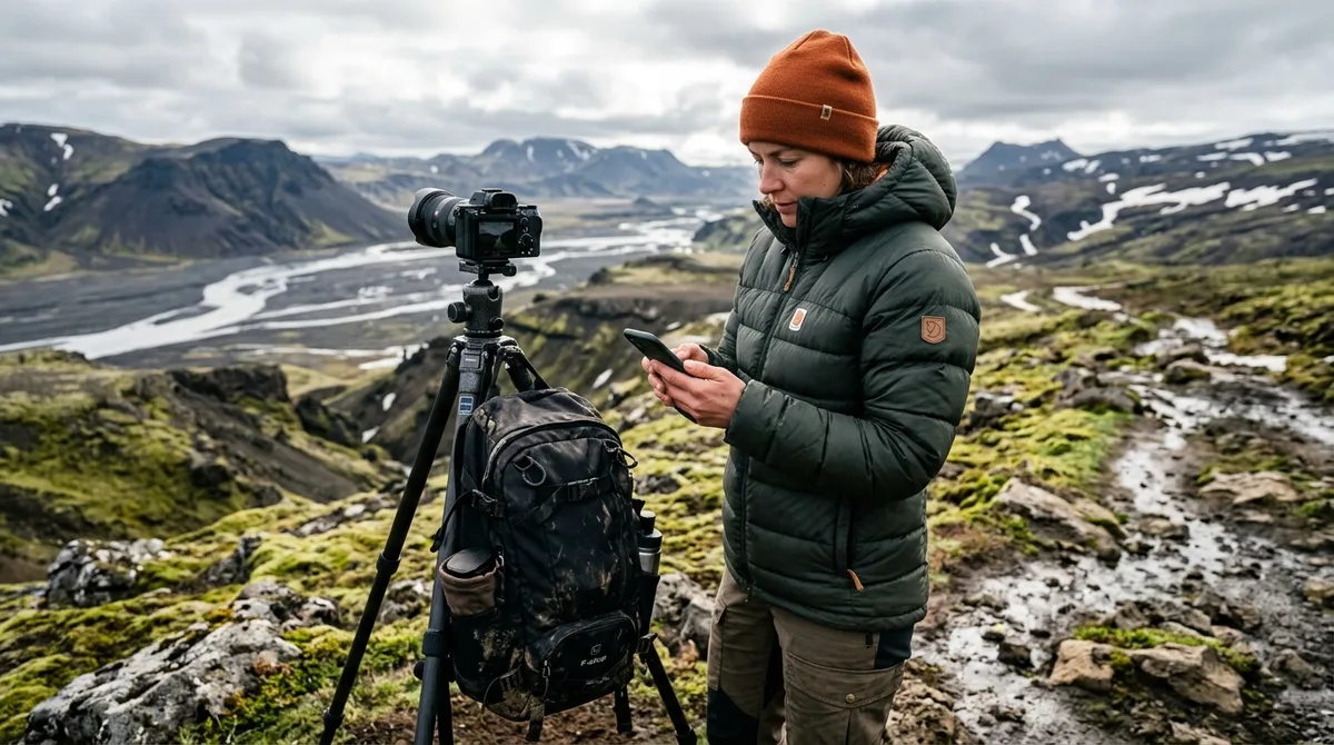
Using an Iceland photography map for OsmAnd allows you to maintain precise navigation even when you are miles away from the nearest cellular tower. By importing curated GPX files directly into your device, you gain the ability to visualize your planned route across remote landscapes, which helps in maintaining orientation during your expedition. This guide provides the technical steps to configure your setup for 2026, ensuring your navigation remains robust throughout your journey across the island.
Why Photographers Choose OsmAnd for Iceland
For photographers traversing the Icelandic wilderness, reliability is a primary requirement. Many standard navigation apps rely heavily on constant data connectivity, which can be inconsistent in the Highlands or along isolated stretches of the Westfjords. OsmAnd functions as an offline-first navigation tool, storing map tiles directly on your device storage. This architecture is a significant advantage for those who need to reference Iceland offline maps for photographers without worrying about roaming charges or signal drops in remote regions.
Standard mapping applications often struggle with large datasets, becoming sluggish when hundreds of custom waypoints are loaded. OsmAnd handles large GPX files with efficiency, allowing you to toggle visibility for specific categories—such as waterfalls or lighthouses—without cluttering your interface. This capability is essential when you are balancing multiple shooting schedules and need to see exactly where your next composition lies relative to your current position.
Relying on non-cellular dependent waypoints means your planning remains accessible regardless of the local network status. Whether you are chasing the aurora or waiting for the perfect light at a remote church, having your coordinates pinned offline provides a level of utility that digital-only maps cannot match. By utilizing our complete collection of locations, you ensure that every waypoint is available at your fingertips, even when you are deep in the backcountry.
Preparing Your Iceland Photography Map for OsmAnd
To begin, you must download the appropriate file format from your account. Iceland Photo Map provides data that is optimized for compatibility with various mapping software. Once you have downloaded the GPX file, ensure you have sufficient storage space on your smartphone or tablet. High-detail offline map tiles for the entire island can consume a significant amount of memory, so we recommend downloading these tiles while connected to stable Wi-Fi before your departure.
The data structure provided in our files is designed for efficiency. Each entry contains specific coordinates, categorization, and seasonal access notes. Our research process involves compiling data from various public records and geographical databases to ensure accuracy. Every location includes essential metadata like category and season, which helps you decide if a location is accessible during your specific travel window. You can review our setup documentation to ensure your device is ready for the import process.
Step-by-Step: Importing Your Iceland Photography Map for OsmAnd
Importing your Iceland photography map for OsmAnd is a straightforward process, but it requires attention to the application's file management system. Follow these steps to ensure your data is correctly integrated:
- Download the GPX File: Save the file from your Iceland Photo Map account to your device’s local storage (e.g., the "Downloads" folder).
- Open OsmAnd: Launch the app and navigate to the "My Places" or "Import" menu, typically found within the main settings or the "Tracks" section.
- Select the File: Choose the "Import" option and browse to the location where you saved the GPX file. The app will parse the coordinates and add them to your map layer.
- Manage Layers: Once imported, you can use the "Configure Map" menu to toggle the visibility of your added waypoints. based on the official OsmAnd documentation, users can customize the icon style, color, and size to ensure they remain visible against the base map.
If you encounter issues, verify that your device is running the current version of the application as provided by the official app store for your operating system. On some iOS devices, you may need to use the "Share" function from your file manager to "Open in OsmAnd" if the internal import menu does not immediately recognize the file type.
Optimizing Waypoint Visibility and Organization
Managing high-density areas, such as the South Coast or the Golden Circle, requires a methodical approach to map layers. If you activate every possible location at once, the screen can become visually overwhelming. We recommend using the category filtering features within OsmAnd to isolate specific subjects. For example, if you are focusing on churches for a day of architecture photography, hide your waterfall and landscape layers to reduce visual noise.
Customizing your icon sets is another effective strategy. OsmAnd allows you to assign specific icons to different categories. By distinguishing your locations with unique markers, you can quickly identify the type of shot waiting for you at each coordinate. This organization is vital when you are navigating in poor weather and need to make quick decisions about your next stop.
Navigating Safely: Using Your Iceland Photography Map for OsmAnd
It is critical to understand that our files are waypoints, not turn-by-turn navigation. They provide the destination, but your own mapping app handles the routing. These files do not provide live weather, road, or aurora conditions. For real-time safety, you must consult official sources. Use The Icelandic Road and Coastal Administration (road.is) for current road closures and conditions, and the Icelandic Meteorological Office (vedur.is) for weather warnings and aurora forecasts. Additionally, for general travel safety and emergency information, consult SafeTravel.is, which provides updated guidance on mountain road conditions and weather-related travel hazards.
Planning your daily route involves cross-referencing our waypoint data with these live resources. If a road is marked as closed on road.is, do not attempt to reach a waypoint in that area, regardless of what your navigation app suggests. Users are encouraged to verify current conditions before departing for any remote location.
Comparison of Navigation Approaches
When choosing how to navigate Iceland, it is helpful to understand the differences between static waypoint data and active routing services.
- Offline Capability: Our waypoints are stored locally, ensuring access without data.
- Data Type: We provide curated photography locations, whereas standard apps often focus on general points of interest.
- Routing Logic: Users typically define their own paths between waypoints, allowing for more control over the scenic route taken.
- Condition Updates: Static files do not contain live data; therefore, users must consult external sources like road.is for real-time updates.
What to Do If Your File Fails to Load
If your file does not load on your device, first ensure that you are using the correct file format. Occasionally, browser settings or download managers can corrupt a file during the transfer process. If the issue persists, please email us within 30 days of your purchase. We will work with you to resolve the technical issue or provide a refund. Note that Iceland Photo Map does not publish customer reviews, testimonials, or star ratings, and no rating markup appears on the site; our support is handled directly to ensure your technical needs are met.
Beyond the Map: Enhancing Your Iceland Photography Workflow
The value of your purchase extends beyond the coordinates themselves. By utilizing our researched location briefs, you can prepare for the specific challenges of each site. These notes provide context that helps you plan your equipment list and timing. Furthermore, our data is published as an open CC-BY dataset. What is sold is the curation, the formats, and the season and access notes. You are free to integrate this data into your own custom planning tools or combine it with other mapping resources. By understanding the difference between raw coordinate data and curated, field-aware information, you can build a more robust itinerary that accounts for both the beauty of the landscape and the logistical realities of Icelandic travel.
Frequently Asked Questions
Does OsmAnd provide turn-by-turn navigation for these waypoints?
No. The files provided are waypoints. Your own mapping app, such as OsmAnd, Gaia GPS, or a dedicated Garmin device, handles the routing. You should use your mapping software to calculate the driving path to the selected waypoint.
Can I use the Iceland photography map for OsmAnd without an internet connection?
Yes. Once you have imported the GPX file and downloaded the necessary offline map tiles for Iceland within the OsmAnd app, you can access all waypoints and navigate without any cellular signal or internet connection.
How often are the location coordinates updated?
The dataset is curated and updated periodically. We focus on providing accurate coordinates for stable locations. Because the files carry season and access notes rather than live data, we recommend checking official resources like road.is for any changes in access or road status during your trip.
What should I do if my map file does not import correctly?
If the file does not load on your device, email us within 30 days and we will either get it working or refund you. Ensure you are following the import instructions specific to your operating system, as the steps for iOS and Android can differ slightly.
Ready to hit the road? Download your Iceland Photography Map today and start planning your next expedition with confidence.