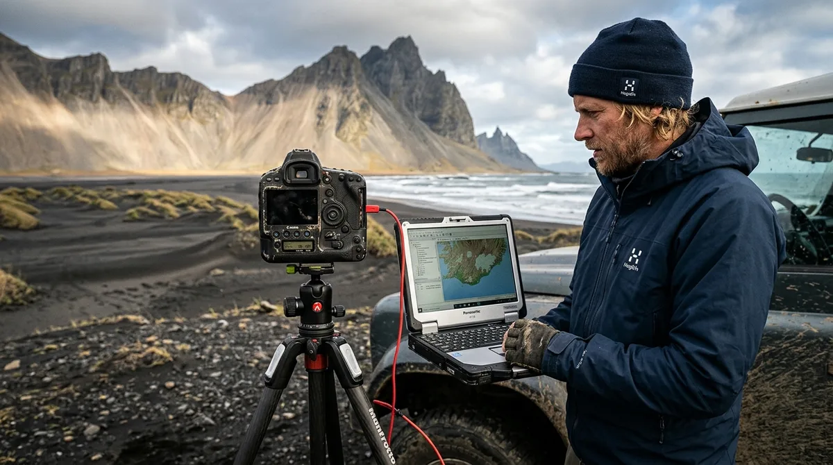
Choosing the correct Iceland photography map file formats is the most important technical step in preparing for a successful expedition to the Arctic. Because navigation apps interpret geospatial data differently, selecting the right format ensures that your waypoints—ranging from Aldeyjarfoss to remote coastal cliffs—appear exactly where they should on your device. Whether you are using a dedicated handheld GPS or a smartphone-based mapping suite, understanding the technical nuances of file compatibility will prevent mid-trip technical failures.
Understanding Iceland Photography Map File Formats
At the core of digital navigation are two primary file formats: GPX (GPS Exchange Format) and KML (Keyhole Markup Language). Defining the difference between these is essential for any photographer planning a 2026 trip. GPX is an XML-based schema designed specifically for the exchange of GPS data, including waypoints, tracks, and routes. According to Topografix GPX Documentation, this format is a widely adopted language for outdoor navigation, ensuring that data remains platform-agnostic and portable between different hardware manufacturers.
Conversely, KML was developed for use with Google Earth and focuses on geographic visualization. It excels at displaying 3D terrain, custom icons, and complex overlays. However, KML is not always the most efficient choice for offline navigation apps, which often prioritize the lightweight, structured nature of GPX. When managing large datasets of photography locations, the file structure matters significantly; a poorly optimized KML file can cause lag on mobile devices, whereas a clean GPX file is parsed efficiently by most GPS software. Metadata plays a critical role here—properly formatted GPX files retain descriptions, elevation data, and category tags that allow you to distinguish between a lighthouse and a waterfall at a glance.
GPX File Compatibility: The Industry Standard
GPX is a preferred standard for photographers who rely on offline reliability. Because it is a non-proprietary XML schema, it is natively supported by many professional-grade navigation devices. If you are using a dedicated Garmin unit, GPX is the primary format. The strength of GPX lies in its adherence to coordinate standards, which helps minimize the "drift" or projection errors common in more visual-heavy formats.
When working with GPX files, it is vital to distinguish between track logs and waypoint data. Our files consist of waypoints—specific latitude and longitude points marking a location of interest. Unlike a track log, which records a path taken, waypoints act as static pins on your map. This distinction is important when importing data into software like Gaia GPS; the software treats these as searchable, clickable points of interest. By standardizing on GPX, you ensure that your location data remains compatible even if you decide to switch hardware mid-expedition.
Using KML Files for Mapping Apps and Visualization
While GPX is the workhorse for navigation, KML offers superior visual planning capabilities. If you are using Google Earth to scout South Coast locations or plan your 10-day Iceland photography itinerary in a 3D environment, KML is the preferred format. As noted in Google Developers KML Documentation, KML allows for the inclusion of extended data properties and complex visual styles, making it useful for desktop-based pre-trip planning.
However, KML has distinct limitations in offline-first mobile apps. Many apps that support KML may struggle to render large quantities of icons or complex styling without performance degradation. If you find your map is becoming unresponsive or slow to zoom, it is likely that the KML file is overburdening the app's rendering engine. In these instances, converting your data to GPX or filtering for specific regions—such as focusing only on Westfjords—is the recommended strategy to maintain performance.
| Feature | GPX (GPS Exchange Format) | KML (Keyhole Markup Language) |
|---|---|---|
| Primary Use | Navigation & Hardware GPS | Visualization & Google Earth |
| Compatibility | Universal (Garmin, Gaia, OsmAnd) | High (Google Earth, specialized apps) |
| Performance | High (Optimized for mobile) | Variable (Can be heavy) |
| Metadata Support | Standardized (Coordinates, simple tags) | Extended (Rich visual styling, 3D) |
Optimizing Your Workflow: How to Use Waypoints in Gaia GPS
For many photographers, Gaia GPS is a common tool for navigating Iceland's rugged terrain. To maximize your efficiency, follow a structured import process. First, download the GPX file provided in your account. Within Gaia GPS, utilize the "Import" function to bring the data into a dedicated folder. Creating a specific folder—for example, "Iceland 2026"—prevents your map view from becoming cluttered with extraneous data.
Managing large datasets is a common challenge. If you are tracking numerous locations, do not leave them all visible at once. Use the app's folder management features to toggle specific categories on or off. For example, if you are planning a day dedicated to churches, hide your other waypoints to keep the map clean. Additionally, customize your icons. Using a distinct, high-contrast icon for your waypoints helps them stand out against Iceland's complex topography, ensuring you never miss a turn on a remote F-road.
Troubleshooting Common Iceland Photography Map File Formats Issues
Even with robust planning, technical issues can arise. If you encounter an import error, the most common culprit is a corrupted file or an app that does not support the specific XML version of the GPX file. often ensure your app is running a current, stable version compatible with your operating system. If waypoints fail to appear on your map, check your layer settings; many apps default to hiding imported waypoints to prevent screen clutter. Simply navigate to your "Saved" or "Imports" menu and ensure the visibility toggle is enabled for the specific file.
Coordinate systems can also cause confusion. Ensure your app is set to WGS 84 (World Geodetic System 1984), which is the global standard for GPS data and the datum used for our files. If you find your points are shifted by a few meters, it is rarely a file error and almost always a datum mismatch within your software settings. If you remain stuck, our how-to guides provide specific walkthroughs for common platforms.
Beyond the Map: Integrating Season and Access Data
It is critical to remember that our files are static waypoints designed for navigation, not live information feeds. They carry essential season and access notes to help you plan your shoot, but they do not provide real-time updates. Iceland’s weather and road conditions are volatile. You must integrate your map data with official sources; check road.is for current road closures and vedur.is for live weather and aurora forecasts before departing each morning.
Our access notes are designed to inform your decision-making. For instance, a note indicating a location is only accessible by 4WD in summer is a safety boundary. Use these notes to cross-reference your itinerary with the current conditions provided by the Icelandic Road and Coastal Administration. By combining our curated waypoint data with official, live-status resources, you create a comprehensive safety and planning net that allows you to focus on your photography.
Selecting the Right Tool for Your Expedition
Choosing between offline mapping apps involves weighing ease of use against technical control. For photographers who prefer a "set and forget" approach, apps like Organic Maps or OsmAnd offer offline performance with minimal setup. Those who require advanced route planning and custom map layers will likely prefer Gaia GPS or Locus Map. We provide multiple formats precisely to offer you this flexibility; you are not locked into a single ecosystem.
Before you arrive in Iceland, conduct a "dry run" at home. Import your files, test the offline map downloads, and verify that your waypoints appear correctly in your chosen app. This step eliminates the stress of troubleshooting in the field, where cellular data may be spotty or non-existent. Testing your setup well in advance allows you to focus on the landscape, knowing your navigation is handled.
Frequently Asked Questions
Can I use these files on my Garmin GPS device?
Yes. Our GPX files are compatible with Garmin handheld and automotive units. You can transfer them directly to your device via a USB connection or through the Garmin Explore app. For detailed steps, visit our Garmin import guide.
What is the difference between a GPX file and a KML file?
GPX is the industry standard for GPS navigation, optimized for hardware and mobile apps. KML is a visualization format primarily used in Google Earth. For navigation, we recommend using GPX; for desktop scouting and 3D visualization, KML is the superior choice.
Do these map files provide live weather or road closure updates?
No. Our files contain static location data, including coordinates, category, season, and access notes. They do not connect to live data feeds. You must consult official Icelandic sources like road.is and vedur.is for real-time conditions during your trip.
How do I import these files into Gaia GPS or OsmAnd?
Importing is straightforward. In Gaia GPS, you can use the "Import" button in the app’s main menu to select your downloaded GPX file. For OsmAnd, you can place the file in the "import" folder on your device or use the "My Places" menu to import tracks and waypoints. We have curated specific guides for Gaia GPS and OsmAnd on our site.
Ready to plan your trip? Explore our full collection of Iceland photography maps and download the files compatible with your favorite navigation app today.