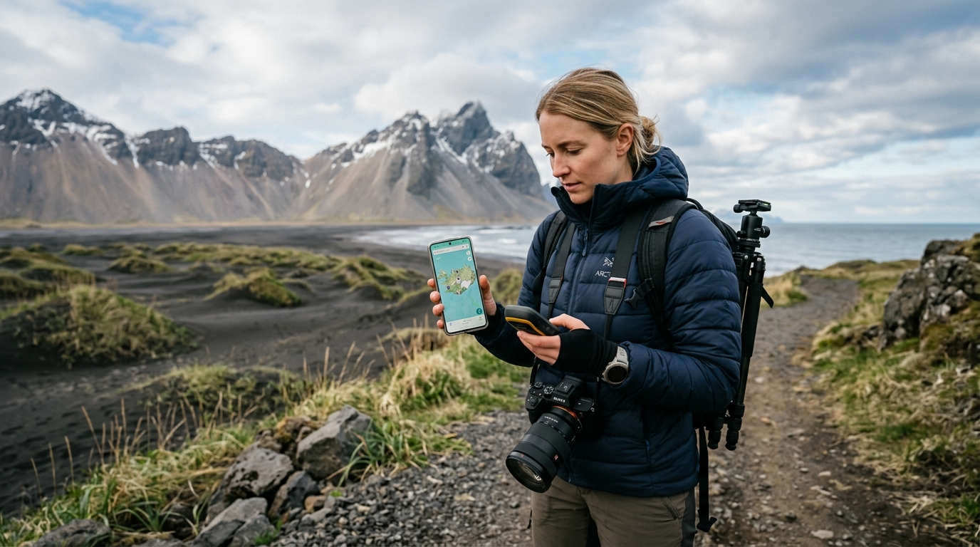
Ensuring Iceland photography map file compatibility is the most critical step in preparing your digital scouting tools before you arrive in Iceland. By utilizing standardized file formats like GPX and KML, you can seamlessly integrate our curated location datasets into your preferred mobile mapping applications, ensuring you stay oriented in remote landscapes where cellular signals are unreliable. Proper preparation of your digital toolkit is a prerequisite for successful landscape photography in the North Atlantic.
When you download our files, you are acquiring a structured dataset of coordinates and metadata. It is important to remember that these files function as waypoints; they do not provide turn-by-turn navigation. Your chosen mapping application, such as Gaia GPS, OsmAnd, or a handheld Garmin device, handles the routing logic based on the map layers you choose to download for offline use. By preparing your software environment ahead of time, you eliminate the stress of troubleshooting in the field.
Understanding Iceland Photography Map File Compatibility
The core of Iceland photography map file compatibility lies in the use of open, non-proprietary data formats. Modern photography scouting relies on the ability to overlay precise coordinate data onto topographic or satellite base maps. Because we provide our data in standard formats, you have the flexibility to choose the hardware and software that best fits your workflow.
These files serve a specific purpose: they provide the "where" for your photography trip. They contain the precise latitude and longitude for specific locations, along with metadata that helps you filter by season or site type. They do not, however, provide turn-by-turn navigation or real-time traffic updates. You are responsible for using your app’s routing engine to find the roads or trails that lead to these points. Choosing the right app is a balance between your familiarity with the interface and the app's ability to handle offline map caching—a necessity when exploring the Westfjords or the more isolated corners of the interior.
Essential File Formats for Iceland Mapping
To ensure universal compatibility, we provide files primarily in GPX (GPS Exchange Format) and KML (Keyhole Markup Language). Understanding the distinction helps you select the right file for your specific device.
- GPX (GPS Exchange Format): This is the industry standard for GPS data exchange. It is an XML-based schema designed for interchange between GPS devices and software, as documented by Topografix. GPX is highly efficient and widely supported by almost every modern mapping application and dedicated GPS unit.
- KML (Keyhole Markup Language): Developed for use in Earth-based browsers, KML is excellent for visualizing data with rich, hierarchical structures, as noted in the Google KML Documentation. While many apps support KML, it is often more feature-heavy than GPX and is primarily used when you want to see custom icons or specific visual overlays in platforms like Google Earth.
Most photographers find that GPX is the most reliable format for mobile applications like Gaia GPS or OsmAnd. By adhering to these open standards, we ensure that your data remains accessible regardless of which software ecosystem you prefer to use for your Iceland photography itinerary.
How to Use GPX Files in Gaia GPS
Learning how to use GPX files in Gaia GPS is a straightforward process that significantly enhances your ability to scout locations efficiently. Gaia GPS is highly regarded for its robust offline map-caching capabilities, which is essential for remote areas in Iceland.
- Download and Import: Download the GPX file from your account to your mobile device. On iOS, you can select the file and use the "Share" icon to open it directly in the Gaia GPS app. On Android, use the "Import" function within the Gaia GPS menu to select the file from your local storage.
- Organize Folders: Once imported, the waypoints will appear as a new track or folder. We recommend renaming these folders based on your specific trip, such as "South Coast 2026" or "Northern Landscapes."
- Layer Management: For photography, we recommend using the "Gaia Topo" or "Satellite" map layers. Ensure you have downloaded these layers for offline use while you still have a stable Wi-Fi connection at your accommodation.
If you encounter issues, ensure your Gaia GPS app is updated to the latest version. For more specific guidance on mobile imports, refer to our dedicated page on importing KML and GPX files into Gaia GPS.
Importing Waypoints to OsmAnd for Offline Use
Importing waypoints to OsmAnd is an excellent choice for photographers who prefer a highly customizable, map-heavy interface. OsmAnd excels at offline navigation and provides detailed topographic data that is invaluable for identifying terrain features.
To import your files:
- Navigate to the "My Places" or "GPX tracks" menu in the OsmAnd settings.
- Select "Import" and locate the downloaded file on your device.
- Once loaded, you can toggle the visibility of specific categories, such as waterfalls or lighthouses, to keep your map interface clean.
The primary benefit of OsmAnd is its ability to render high-detail contour lines without requiring a data connection. This is vital when you are out in the field and need to judge the distance or elevation gain to reach a specific vantage point. For a detailed walkthrough, visit our guide on using our files in OsmAnd.
Beyond the Map: Interpreting Season and Access Notes
While our files provide the coordinates to get you to a location, they are not a substitute for local situational awareness. The files contain vital metadata regarding seasonal access and typical conditions, but they do not provide live updates. Every location carries coordinates, category, and season, though specific field notes vary by site.
It is mandatory to cross-reference our metadata with official Icelandic resources:
- Road Conditions: Always check road.is for the latest status on road closures, especially when traveling in the shoulder seasons or winter.
- Weather Forecasts: Use vedur.is for accurate weather predictions. Icelandic weather is notoriously volatile; never rely solely on a map file for safety decisions.
By understanding that the files are static tools, you can incorporate them into a broader, safer, and more effective planning workflow.
Troubleshooting Common Compatibility Issues
If a file fails to load, the issue is often related to app-specific limitations or file corruption during the download process. First, verify that you have successfully downloaded the full file and that it has a valid .gpx or .kml extension. If the app still rejects the file, try deleting the app's cache or performing a fresh import. Ensure your operating system is up to date, as older versions of mobile OS software may occasionally struggle with certain XML schema versions.
We stand by our product. If the file does not load on your device, email us within 30 days and we will either get it working or refund you. Note that we do not offer unconditional refunds, but we are committed to ensuring the file functions as described. We provide these files in standard formats to ensure that you are not restricted by proprietary software ecosystems.
Comparing Iceland Photography Map File Compatibility Across Platforms
Different apps serve different needs. Whether you prioritize offline map detail, ease of navigation, or integration with external hardware, there is an app that fits your style.
The following table outlines how different platforms handle standard GPS data:
| Application | Primary Strength | Offline Capability | Best For |
|---|---|---|---|
| Gaia GPS | Layer variety | Excellent | Backcountry/Off-road |
| OsmAnd | Detail/Customization | Excellent | Technical/Topographic |
| Organic Maps | Simplicity/Speed | Good | Casual navigation |
| Garmin BaseCamp | Hardware sync | N/A (Desktop) | Dedicated GPS units |
For a more comprehensive analysis of how these tools stack up, you can review our comparison of Iceland photography guides, which details where different tools excel and where they may fall short.
Technical Considerations for Advanced Users
For users integrating these files into professional GIS software or advanced handheld units, it is worth noting that GPX files are essentially text files containing XML data. If you are comfortable with basic text editing, you can open these files in a code editor to inspect the waypoint tags. This level of transparency is why we chose these formats for our 2026 collection; it allows for maximum interoperability across diverse hardware configurations. If you are using a dedicated GPS unit, ensure that your device firmware is current, as older hardware may have limitations on the number of waypoints it can display simultaneously.
Frequently Asked Questions
Do these map files provide turn-by-turn navigation?
No. The files are waypoints. Your own mapping app—Gaia GPS, OsmAnd, Organic Maps, or a Garmin device—handles the routing logic and driving directions.
What should I do if my mapping app won't open the file?
First, ensure the file was downloaded completely and has the correct extension. If the issue persists, try restarting your app or checking for software updates. If you still cannot open the file within 30 days of purchase, contact us, and we will help you resolve the technical issue or issue a refund.
Are these files compatible with Garmin devices?
Yes. Most modern Garmin devices support GPX files. You may need to use Garmin BaseCamp or a similar desktop utility to transfer the waypoints from your computer to your handheld device. See our specific documentation on importing waypoints to Garmin hardware.
Do the files include live weather or road closure updates?
No. The files carry static season and access notes. They do not contain live data. You must check vedur.is and road.is for current conditions during your trip.
Can I use these files on both iPhone and Android?
Yes. Because we use universal GPX and KML formats, our files are fully compatible with both iOS and Android platforms, provided you have a compatible mapping app installed.
How often are these files updated?
We review our location data annually to ensure accuracy. our maps reflect the most current access information available for popular photography sites across the island.
Ready to start planning your trip? Browse our full collection of Iceland photography maps and find the perfect set for your next adventure.