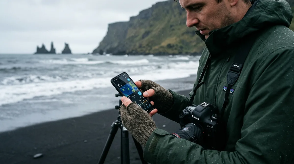
To capture Iceland's volatile landscapes safely and effectively, your mobile workflow requires a dedicated digital field stack tailored to sub-Arctic meteorology, space weather, and offline navigation. The best apps for Iceland photography combine localized cloud-layer forecasting, high-resolution wind modeling, real-time road safety monitoring, solar trajectory calculations, and robust offline GPS waypoint management.
Relying on standard weather widgets or default consumer navigation apps will lead to missed light windows, ruined compositions, or hazardous driving conditions. Below is a comprehensive breakdown of the essential mobile applications, setup protocols, and field workflows required for capturing Iceland's backcountry in 2026.
The Arctic Digital Kit: Evaluating the Best Apps for Iceland Photography
Standard consumer travel apps consistently fail in Iceland. Mainstream mobile weather models often sample large geographic grids that smooth out the intense micro-climates formed between deep fjords, massive ice caps like Vatnajökull, and volcanic coastlines. A forecast showing "partly cloudy" across an entire southern municipality might conceal a 25-meter-per-second sandstorm near Vík or localized coastal fog completely blanketing your shooting location. Simultaneously, cellular infrastructure drops significantly once you turn off the Ring Road into the Highlands or traverse mountain passes in the Westfjords.
Landscape and astrophotography in the sub-Arctic demand specialized digital capabilities categorized into four essential pillars:
- Micro-Climate Atmospheric Models: Tracking multi-tier cloud ceilings (low, mid, high altitude) and surface wind gusts to time coastal shoots and mountain ascents.
- Geomagnetic and Space Weather Telemetry: Reading real-time interplanetary magnetic field data ($B_z$ orientation and solar wind speed) rather than relying exclusively on simplified planetary indices.
- Ephemeris and Solar Trajectory Engines: Predicting hyper-specific sun and moon angles across seasonal extremes, from midsummer's continuous golden hour to deep winter's low-arc twilight.
- Offline Waypoint and Spatial Data Managers: Navigating remote track turnoffs and parking coordinates without an active data connection.
Cold temperatures present an immediate operational hazard to mobile devices. Lithium-ion batteries experience rapid internal resistance increases when ambient temperatures drop below freezing, causing sudden voltage drops and unexpected shutdowns. When operating high-draw applications—such as augmented reality (AR) ephemeris viewers or live satellite GPS rendering—keep your device in an insulated inner jacket pocket next to your body core, supplemented by a dedicated power bank kept at operating temperature. Establishing a robust digital kit ensures you spend minimal time troubleshooting tech in sub-zero winds and maximum time working compositions during transient light windows.
| App Category | Recommended Apps | Primary Field Use Case | Offline Capability |
|---|---|---|---|
| Local Meteorology | Vedur, Windy, Ventusky | Multi-layer cloud tracking, gale warnings, freezing levels | Requires data connection (cache before departure) |
| Aurora Forecasting | Space Weather Live, Aurora Forecast | Real-time $B_z$ magnetic alignment, solar wind speed monitoring | Requires data connection |
| Safety & Road Status | SafeTravel Iceland, Road.is | Pass closures, black ice alerts, search and rescue check-ins | Partial (requires connection for live sensor updates) |
| Ephemeris & Sun Angles | PhotoPills, The Photographer's Ephemeris | AR alignment, blue hour timing, shadow angle planning | Full offline functionality once ephemeris tables load |
| Field Navigation | Gaia GPS, OsmAnd, Organic Maps | Importing spatial waypoint sets, terrain contour evaluation | Full offline functionality with pre-downloaded map tiles |
Real-Time Meteorology: Critical Iceland Weather Apps for Cloud and Wind Tracking
Atmospheric stability in Iceland is non-existent. Maritime air masses colliding with cold Arctic fronts create localized precipitation cells that shift in minutes. Mastering Iceland weather apps means looking beyond simplistic rain percentages and analyzing atmospheric layer splits and wind gust dynamics.
1. Vedur (Veðurstofa Íslands)
The official app and platform of the Icelandic Meteorological Office (Veðurstofa Íslands) is mandatory for any landscape photographer. Unlike global aggregator apps that pull homogenized global forecasts, Vedur runs high-resolution regional forecasting models calibrated for Iceland's topography.
The most critical feature for landscape photography is the multi-layer cloud cover map. The app separates cloud cover into three distinct altitude bands:
- Low-Level Clouds (Green base layer): Indicates dense ground fog, sea fret, and low scud that will obscure mountain peaks, sea stacks, and waterfalls.
- Mid-Level Clouds: Thicker cloud shelves that dictate general overcast conditions or diffuse illumination across volcanic plains.
- High-Level Clouds (Cirrus): The photographer's best asset. High-altitude ice-crystal clouds catch the first pre-dawn light and the final post-sunset rays, illuminating dynamic red and magenta hues across the sky while keeping the horizon clear for direct light.
2. Windy (ECMWF vs. GFS Models)
For predicting violent surface wind conditions, Windy is indispensable. Iceland's road network regularly experiences severe crosswinds that can overturn camper vans or tear car doors off their hinges at exposed headlands like Dyrhólaey or the Stokksnes peninsula. Windy allows you to compare the European ECMWF model against the American GFS and regional ICON models.
Pay close attention to the "Wind Gusts" metric rather than base wind speed. A base wind of 12 m/s (approx. 27 mph) is manageable on a sturdy carbon fiber tripod, but gust spikes exceeding 25 m/s (approx. 56 mph) introduce extreme camera shake, throw salt spray across front lens elements, and blow tripod legs out from under stabilized rigs. Windy enables you to identify lee-side mountain valleys that offer shelter during broad regional gale cycles.
3. Ventusky
Ventusky excels in high-resolution visual precipitation modeling and freezing level tracking. When planning shoots at glacier lagoons like Jökulsárlón or hiking into slot canyons, monitoring the exact freezing level determines whether you will face driving sleet, dense rain, or pristine snow cover. Reviewing localized wind shear and precipitation radars in Ventusky helps time safe approaches to roaring waterfalls like Aldeyjarfoss or Barnafossar, where excessive spray can soak camera gear within seconds.
Chasing the Green Ribbon: Selecting an Iceland Aurora Forecast App
Shooting the Northern Lights requires understanding the interaction between geomagnetic solar storms and local atmospheric clarity. A common failure mode for visiting photographers is prioritizing geomagnetic indices while ignoring cloud ceilings.
Decoding Space Weather Telemetry
Most basic aurora apps present a broad planetary $K_p$ index score between 0 and 9. While a $K_p$ 4 or higher indicates potential visibility across Iceland, the $K_p$ index is an averaged three-hour metric that lags real-time solar activity. For accurate astrophotography planning, install specialized telemetry tools like Space Weather Live or the NOAA Space Weather feeds via NOAA's Space Weather Prediction Center.
Focus on two real-time metrics instead of relying solely on an Iceland aurora forecast app:
- $B_z$ Component of the Interplanetary Magnetic Field (IMF): Measured in nanoteslas (nT). For active auroral displays to ignite, the $B_z$ value must point south (negative). A strong negative $B_z$ (e.g., -5 nT to -15 nT) allows solar particles to penetrate Earth's magnetosphere, producing rapid dancing curtains even during modest $K_p 2$ conditions. If the $B_z$ points strongly north (positive), even a $K_p 5$ storm may produce only a faint, static green arc along the northern horizon.
- Solar Wind Speed and Density: Speeds above 450–500 km/s combined with particle densities exceeding 10 protons/cm³ dramatically intensify auroral brightness, allowing faster shutter speeds (1 to 2 seconds) that preserve distinct vertical pillar structures.
The Cloud Gap Strategy
A $K_p 7$ severe geomagnetic storm is visually useless under complete, low-level cloud cover. Successful aurora chasing in Iceland is fundamentally an exercise in navigating to clear-sky pockets. Combine real-time magnetic telemetry with Vedur's composite cloud forecast. If the South Coast is trapped under dense maritime stratus, examine the cloud maps for lee-side breaks in North Iceland or the Westfjords, and reposition accordingly.
When preparing your camera gear for night shoots, consult our dedicated Iceland aurora photography guide to dial in exposure baselines, manual focus calibration, and cold-weather lens anti-fogging techniques.
Navigating Iceland Safely: Road Conditions, River Crossings, and Emergency Services
Safety apps in Iceland are essential operational infrastructure. The island's geography features unbridged glacial rivers, narrow mountain passes, and rapidly shifting winter icing that can strand unprepared travelers far from assistance.
SafeTravel Iceland
Managed by ICE-SAR (the Icelandic Association for Search and Rescue), SafeTravel Iceland provides official hazard alerts, severe weather warnings, and travel condition notifications. Before venturing into isolated highland regions or undertaking long coastal drives, submit your planned itinerary through their safety portal. This provides search-and-rescue teams with your intended trajectory if your vehicle fails to return on schedule.
Road.is (Vegagerðin)
The official app and portal of the Icelandic Road and Coastal Administration (Vegagerðin) is non-negotiable for safe field travel. Road.is tracks real-time road conditions across the country through automated road-surface temperature sensors, weather stations, and live webcams positioned at vulnerable mountain passes.
Color codes on Road.is communicate critical driving conditions:
- Green: Passable, clear conditions.
- Blue / Dark Blue: Slippery / Very slippery (indicating black ice or packed snow).
- White: Snow cover / Snow drifts present.
- Red: Impassable (Ófært) — no winter service, deep snowdrifts, or flooding.
- Black / Red Stripe: Closed (Lokað) — physical barriers in place; driving past this marker voids vehicle insurance and triggers severe search-and-rescue penalties.
It is vital to distinguish between static spatial planning and live conditions. Curated waypoint datasets—such as those found in our open coordinate dataset—provide geographic access points and seasonal notes, but Road.is remains mandatory for checking active pass closures and daily road status. In an emergency outside standard mobile voice coverage, the 112 Iceland system allows travelers to transmit automated SMS coordinates to emergency dispatchers.
Light Alignment and Composition: PhotoPills and The Photographer's Ephemeris
Iceland's high northern latitude (a measurable budget^\circ\text{N}$ to a measurable budget^\circ\text{N}$) produces unique solar geometry. In June and July, the sun dips barely below the horizon, creating a continuous twilight that lasts for hours. In December and January, the sun barely crests the southern horizon, producing low-angled, four-hour golden hour arcs before dipping into extended blue hour and astronomical darkness.
Augmented Reality (AR) Sun and Moon Alignment
Using ephemeris applications like PhotoPills or The Photographer's Ephemeris (TPE) lets you pre-visualize exact composition alignments without guesswork. By activating PhotoPills' AR Night AR or Sun AR modes, you can stand at the base of a sea stack—such as Reynisdrangar or the basalt arches of the Snæfellsnes Peninsula—and see the precise hour and minute the full moon or sun will intersect the geological formation.
Key planning functions in ephemeris tools include:
- Astronomical vs. Nautical Twilight Windows: In late August and early September, identifying the exact window of true astronomical darkness ensures your aurora and Milky Way exposures are free from solar light bleed along the northern horizon.
- Geodetic Pin Calculations: Calculating elevation offsets to determine if a distant mountain peak will cast a shadow across your foreground subject during sunrise.
- Hyperfocal Distance Calculation: Dialing in critical sharpness when using ultra-wide lenses (such as 14mm or 20mm) to maintain crisp foreground ice textures while keeping distant volcanic peaks in sharp focus.
Offline Field Navigation: How the Best Apps for Iceland Photography Handle Waypoints
When you lose cellular data along rugged coastal tracks or remote interior gravel roads, dedicated offline navigation software is essential. Streaming maps fail the moment a data connection drops if the cache has cleared from memory. Professional field workflows rely on standalone GPS engines configured with pre-downloaded vector maps and structured geographic waypoints.
Top Offline Mapping Engines
- Gaia GPS: The industry standard for topographic detail, satellite cache layers, and custom folder management. Learn the exact process in our step-by-step tutorial on importing KML files into Gaia GPS.
- OsmAnd: A powerful OpenStreetMap-based navigation engine providing detailed offline vector maps, elevation contour lines, and track recording. Review our guide to importing waypoints into OsmAnd for rapid setup.
- Organic Maps: A lightweight, battery-efficient, privacy-focused open-source tool that handles offline maps and spatial files smoothly. See how to configure it in our guide for Organic Maps waypoint imports.
- Dedicated GPS Hardware: For photographers venturing deep into the volcanic interior, pairing dedicated Garmin units with pre-loaded spatial data provides rugged reliability. Check our instructions on loading GPX files onto Garmin devices.
When working with mapping applications, it is important to distinguish between raw geographic data and active vehicle routing. The files are waypoints. Your own mapping app — Gaia GPS, OsmAnd, Organic Maps, a Garmin — does the routing. Spatial datasets give you exact coordinates for parking turnouts, trailheads, and compositions, while the host navigation app calculates optimal approach paths based on its internal map algorithms.
The KML, GPX and GeoJSON files live on your device, so the waypoints work with no signal. Downloading offline map tiles is a separate step inside your mapping app. Complete all offline map layer downloads across entire regional zones (such as South Coast, Westfjords, and North Iceland) while connected to high-speed Wi-Fi before venturing into the field.
Field Blueprint: Planning an Iceland Photo Trip App Ecosystem
Establishing an efficient in-car dashboard keeps you organized, safe, and responsive to fleeting atmospheric events when planning an Iceland photo trip.
1. Structuring the Two-Screen Vehicle Setup
Mounting two devices in your vehicle dashboard creates an efficient operational hub:
- Primary Navigation Screen (Tablet or Car Screen via Apple CarPlay / Android Auto): Runs offline mapping software loaded with target waypoints, topographic relief layers, and regional road vectors.
- Secondary Live Telemetry Screen (Mounted Mobile Device): Kept on continuous charging to display live Vedur cloud splits, Windy gust monitors, and real-time Road.is pass status updates.
2. The Evening Field Preparation Routine
Do not wait until morning to determine your shoot plan. Execute this checklist every evening before retiring:
- Review Road.is Webcams and Pass Warnings: Verify whether upcoming mountain passes are prone to black ice or drifting snow at dawn.
- Analyze Cloud Layer Splits on Vedur: Determine whether high cirrus clouds favor an eastward sunrise shoot, or if low-level fog requires moving inland.
- Load Target Waypoints: Select your primary dawn shooting location and two nearby secondary backups in your offline mapping app.
- Verify Solar Alignment in PhotoPills: Note the exact azimuth and time the sun will crest surrounding ridges to time your arrival 45 minutes prior to first light.
- Check Auroral $B_z$ Trends: If clear skies are forecast overnight, set low-battery-draw push alerts for sudden southward $B_z$ shifts.
3. Data Management and Connectivity
While local mapping runs offline, staying informed on sudden severe weather warnings requires maintaining mobile connectivity when traveling along the Ring Road. Prior to arrival at Keflavik Airport, configure an international eSIM profile or secure a local pre-paid SIM card from providers such as Síminn or Vodafone Iceland, which provide strong coastal 4G/5G coverage.
To see how to structure full multi-day photography itineraries utilizing these digital tools, review our comprehensive route guides, including our 7-day Iceland photography itinerary or the expanded 10-day Iceland photography itinerary.
Frequently Asked Questions
Do I need an internet connection to use mapping apps in Iceland?
No, provided you have downloaded both your spatial waypoint files and offline regional map tiles in advance. Navigation applications like Gaia GPS, OsmAnd, and Organic Maps read native GPS satellite hardware signals without cellular data. However, dynamic real-time layers—such as Road.is webcam feeds, live wind gust sensors, and active cloud cover forecasts—require a data connection to refresh.
Which weather app is most accurate for predicting Iceland's cloud cover?
The official Vedur app from the Icelandic Meteorological Office is the most accurate tool for cloud cover predictions across Iceland. Its multi-layer cloud maps distinguish between low, mid, and high-altitude cloud cover, which is critical for timing landscape light windows and finding clear skies for aurora chasing.
Can I rely exclusively on Google Maps for navigating to remote Iceland photo locations?
No. Google Maps frequently underestimates travel times on rough gravel roads, lacks critical elevation contour data, and cannot interpret F-road river crossings or seasonal road closures. Additionally, streaming maps can leave you stranded without navigation if cellular data drops and map caches expire. Dedicated offline mapping tools loaded with structured geographic waypoints are essential for remote travel.
What is the difference between a Kp index app and cloud forecast tools when chasing auroras?
A $K_p$ index app measures broad geomagnetic disturbances in Earth's atmosphere, indicating the theoretical strength and geographic reach of an auroral display. A cloud forecast tool measures local tropospheric cloud cover. Because high geomagnetic activity cannot be seen through low-level cloud cover, cloud forecasting is just as important as geomagnetic telemetry for successfully photographing the aurora.
Download the curated Iceland Photo Map waypoints, import them into your favorite offline mapping app, and explore 121 rigorously cataloged locations with confidence.