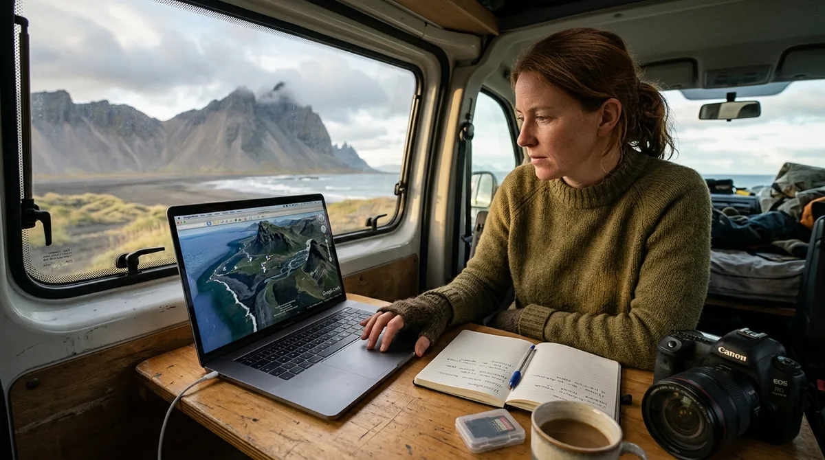
Conducting Iceland photography location scouting with Google Earth allows landscape photographers to calculate precise solar illumination angles, verify sightlines across steep volcanic terrain, and analyze access routes before boarding a flight. By using desktop 3D spatial tools to simulate Arctic light and topography, you eliminate compositional guesswork and maximize your shooting time across Iceland's volatile microclimates.
Iceland presents distinct geographic challenges rarely found in mid-latitude landscape photography. Glacial valleys, towering basalt sea stacks, deep canyon cuts, and active volcanic craters create complex line-of-sight obstructions that cannot be evaluated from standard two-dimensional topomaps. Whether you are mapping the midnight sun over remote fjords or calculating the exact minute a winter dawn crests a southern mountain pass, scouting Iceland locations remotely gives you complete control over your field logistics.
---Why Iceland Photography Location Scouting with Google Earth Changes Trip Outcomes
Landscape photography in subarctic latitudes demands meticulous spatial preparation. Iceland sits between roughly 63.4° N and 66.5° N latitude, meaning the solar trajectory differs drastically from lower-latitude destinations. In midsummer, the sun skims the horizon along northern azimuths for hours without setting, while in midwinter, the solar arc peaks at an altitude of only a few degrees above the southern horizon before descending. Using Google Earth for landscape photography in Iceland bridges the gap between conceptual composition and physical field reality.
Overcoming Elevation Variations and Line-of-Sight Blockers
Icelandic topography is defined by abrupt vertical transitions: hanging glacial valleys, canyon chasms, and steep table mountains (tuya formations) such as Herðubreið. Traditional paper or 2D mapping tools reveal contour intervals, but they fail to show whether a 200-meter canyon rim completely blocks golden-hour light from reaching a waterfall basin. In Google Earth's 3D terrain viewer, you can descend directly into a virtual canyon floor to establish direct lines of sight toward key compositional elements.
Maximizing Golden Hour Windows
Because weather in the North Atlantic changes rapidly, clear light windows are often brief. Spending thirty minutes wandering along a cliff edge trying to locate a foreground anchor or an unobstructed viewpoint frequently costs you the best illumination. High-precision virtual scouting enables you to determine your exact tripod position, primary focal length, and approach vectors weeks before your boots touch the moss.
---Setting Up Google Earth Pro for High-Precision Landscape Planning
While the web-based version of Google Earth is accessible in any browser, the standalone desktop software—Google Earth Pro—provides granular spatial controls essential for precision landscape photography. To achieve photorealistic spatial fidelity, adjust your internal rendering preferences.
1. Topographic Elevation Exaggeration
By default, Google Earth applies an elevation exaggeration factor to make flat terrain appear more dynamic. While this looks appealing for casual exploration, it distorts focal-length estimation and mountain slopes.
- Open Preferences (macOS) or Options (Windows) under the Tools menu.
- Navigate to the 3D View tab.
- Locate the Elevation Exaggeration setting and set it strictly to
1.0(or a maximum of1.1to balance the digital elevation model's interpolation). - Ensure Use 3D Terrain is checked.
2. Activating High-Detail Mesh and Layer Overlays
To accurately render ridgelines, basalt columns, and cliff edges, set the Terrain Quality slider to its maximum right position (Higher quality). Enable the Atmosphere layer to visualize horizon depth and turn on 3D Buildings—this toggle also governs high-resolution photogrammetric scans in areas where sub-meter 3D surface models exist.
3. Coordinate Formats and Spatial Reference
Ensure your software displays coordinates in Decimal Degrees (DD.DDDDDD) or Degrees, Minutes, Seconds (DMS) matching your GPS field units, using the standard WGS84 datum. Standardizing your spatial units avoids catastrophic navigation offsets when exporting coordinates to field-ready hardware.
---Importing Coordinate Datasets: Preparing Iceland Photography Location Scouting with Google Earth
Systematic scouting requires structuring waypoints logically within Google Earth Pro’s Places hierarchy. Rather than dropping random placemarks, build a clean organizational schema using standardized geographic file formats.
Google Earth uses Keyhole Markup Language (KML and KMZ) to display geographic data, an XML-based format maintained as an open standard by the Open Geospatial Consortium. For a structured walkthrough on importing these datasets into your workspace, read our guide on how to import KML into Google Earth .
Data Management Tip: Keep your master coordinate datasets stored locally. The KML, GPX and GeoJSON files live on your device, so the waypoints work with no signal. Downloading offline map tiles is a separate step inside your mapping app.
Structuring Your Folder Hierarchy
Organize your project into distinct nested folders within the Temporary Places pane:
- By Region: Divide locations into the South Coast, Snæfellsnes, Westfjords, North Iceland, and the Highlands.
- By Category: Separate targets into waterfalls, coastal sea stacks, volcanic craters, geothermal areas, and historic turf churches.
- By Lighting Phase: Tag placemarks with metadata indicating optimal solar azimuth (e.g., Dawn / Low SE, Midnight Sun / North Horizon, or Diffuse / Overcast Only).
When curating your geographic database, accuracy is vital. The coordinates are published as an open CC-BY dataset. What is sold is the curation, the formats and the season and access notes — not secrecy. Within our master dataset, 9 of the 121 locations carry written field notes today. Every location carries coordinates, category and season. Furthermore, 112 of the 121 locations carry a researched brief compiled from published sources, each listing its sources. These are distinct from the 9 locations with written field notes.
---Simulating Light and Shadow with the Sunlight Slider
The primary advantage of Iceland photography location scouting with Google Earth is the built-in astronomical lighting engine. By calculating the solar vector against the 3D digital elevation mesh, Google Earth simulates the real-time position of shadows cast across canyons and mountain faces at any minute of the year.
Modeling Low-Angle Arctic Light
Click the Sun icon on the top toolbar to reveal the ambient lighting and solar position slider. Set the specific calendar date of your expedition to evaluate seasonal differences:
- Summer Solstice (June 21): The sun reaches minimum altitude near true solar midnight (around 01:30 AM local time due to Iceland's UTC+0 offset). The light rakes across northern exposures. Viewpoints that remain in shadow for nine months—such as the northern amphitheater at Aldeyjarfoss—receive direct, warm cross-lighting along the western canyon rim during this window.
- Equinoxes (March & September): Standard 12-hour light cycles with classic eastern sunrises and western sunsets. Shadows move swiftly across glacial outwash plains.
- Winter Solstice (December 21): The sun skims the southern horizon at a maximum altitude of roughly 3° to 4°. Deep east-west ravines, such as the basalt-shielded gorge at Barnafossar, remain in deep shadow all day, requiring long exposure strategies or high-dynamic-range bracketing.
| Season | Approximate Solar Noon Elevation | Golden / Blue Hour Characteristics | Virtual Scouting Priority |
|---|---|---|---|
| Summer (Jun–Jul) | ~47° to 50° | Continuous golden light spanning 3–5 hours across northern horizon | Locating north-facing compositions unlit during rest of year |
| Autumn (Sep–Oct) | ~20° to 30° | Rapid transitions, rich warm light across southern and western slopes | Assessing mountain shadow thresholds on valley floors |
| Winter (Nov–Feb) | ~3° to 10° | Perpetual low-angle raking light; extreme contrast and deep blue hour | Checking whether southern peaks block the sun completely |
Evaluating Focal Lengths, Viewpoints, and Topographic Profiles
Accurate field pre-visualization requires mapping virtual camera positions to physical focal lengths. Google Earth allows you to simulate your exact focal field of view (FOV) and check whether distant mountain peaks remain visible over nearby ridges.
Simulating Lens Fields of View
To match your camera lenses in Google Earth Pro, enter Ground-Level View or drop the Street View Pegman onto the 3D terrain mesh. Use the keyboard navigation keys (Page Up / Page Down or mouse scroll while holding Shift) to narrow or widen the virtual camera's Field of View:
- Ultra-Wide Angle (14mm–24mm full frame): Zoom out in Ground-Level View until peripheral terrain fills the screen. This allows you to check whether towering waterfall spray zones will crowd the top of your frame while maintaining foreground basalt formations.
- Standard Wide (24mm–35mm full frame): Set a moderate perspective to evaluate balanced landscape compositions where mountain peaks and foreground rivers share equal visual weight.
- Telephoto Compression (70mm–200mm full frame): Zoom the virtual camera deeply into distant mountain ridges while pulling your viewpoint backward. This confirms whether distant volcanic peaks (like Eyjafjallajökull or Hekla) can be compressed behind foreground moraines without terrain masking.
Generating Path Elevation Profiles
Reaching remote compositions in Iceland often involves steep scrambles over unmaintained scree, basalt boulder fields, or steep rim tracks. To evaluate the physical exertion and safety of an approach path:
- Select the Ruler tool and switch to the Path tab.
- Click along the proposed walking line from the nearest parking area to your target camera viewpoint.
- Check the Show Elevation Profile box.
- Examine the resulting cross-section graph at the bottom of the screen. Look for steep grade spikes (grades exceeding 25–many indicate challenging scree scrambles) and sudden vertical drops that mark impassable basalt headwalls.
Identifying Parking, Water Crossings, and Practical Route Realities
High-resolution satellite imagery reveals critical logistical infrastructure that standard navigation maps omit. Identifying where you will leave your vehicle and spotting hazardous natural obstacles prevents dangerous field errors.
Locating Safe Parking and Turnouts
Off-road driving is strictly illegal in Iceland and carries severe fines to protect fragile subarctic moss ecosystems. When planning your shoot, search the satellite imagery for designated gravel turnouts, marked trailhead parking loops, or farm access aprons. rarely plan to stop on the narrow, shoulderless asphalt of Route 1 (the Ring Road), where stopping creates immediate traffic hazards.
Analyzing River Braiding and Unbridged F-Road Crossings
If your photography targets lie in the volcanic Highlands (such as Landmannalaugar, Kerlingarfjöll, or Askja), satellite imagery is invaluable for evaluating river crossings. Trace Highland tracks (F-roads) to identify where they intersect glacial runoff rivers:
- Braided River Channels: Wide, multi-threaded glacial channels indicate shallower water distributed over multiple branches, though soft sand and shifting beds require careful line selection.
- Constricted Single-Channel Crossings: Narrow canyon crossings often feature deep, high-velocity currents that change drastically between morning freezes and warm afternoon glacial melting cycles.
Cross-Referencing Physical Route Limitations
The files carry season and access notes, not live conditions. Check vedur.is and road.is for current weather and road status. Always corroborate satellite imagery against these official resources during your active travel days to account for seasonal bridge washouts, river surges, and winter snow gates.
---Common Virtual Scouting Mistakes and How to Avoid Them
While Google Earth is an indispensable spatial planning tool, relying on it blindly without understanding its technical limitations can compromise your shoot. Keep these three physical factors in mind during your planning phase:
1. Satellite Imagery Capture Latency
Satellite passes over Iceland are constrained by frequent cloud cover. Consequently, base imagery tiles may be several years old. In dynamic volcanic zones—such as the Reykjanes Peninsula or the receding glacier tongues of Vatnajökull—coastal coastlines, glacial lagoons, and trail networks may have shifted significantly since the last satellite pass.
2. Seasonal Snowpack Masking
Most clear Google Earth satellite passes over Iceland are captured during peak summer (July and August) when snowpack is at its absolute minimum. If you visit between October and May, high-elevation hiking trails, gravel roads, and parking markers shown as dry dirt in Google Earth will be buried beneath deep snow, ice, or impassable mud.
3. Microclimates, Spray, and Atmospheric Density
3D computer models cannot render the dense mist, thermal steam, and wind-blown waterfall spray characteristic of Icelandic locations like Skógafoss, Dettifoss, or Hverir. A viewpoint that appears completely unobstructed in 3D terrain space may be completely unshootable in reality due to lens-drenching spray blown by prevailing southwest winds. often inspect downwind vectors and plan alternate leeward camera positions.
---Frequently Asked Questions
Is Google Earth Pro desktop better than Google Earth Web for Iceland photography scouting?
Yes. Google Earth Pro desktop offers critical professional features absent from the web version, including precise elevation exaggeration adjustment (setting it to 1.0 for true-to-scale terrain), real-time path elevation profiling for hiking approaches, historical satellite imagery archives, and advanced KML/KMZ layer management.
How accurate is Google Earth's sun slider for planning high-latitude golden hour in Iceland?
The astronomical calculation of the sun's azimuth and elevation angle in Google Earth Pro is mathematically exact. It precisely models the real-world shadow projections cast by 3D terrain models. However, it does not account for atmospheric refraction near the horizon or local cloud cover, so use it to calculate direct terrain line-of-sight and shadow transitions rather than diffuse atmospheric lighting.
Can satellite imagery show if an Icelandic F-road or hiking trail is open?
No. Satellite imagery represents a historical static snapshot from the day the orbital pass was recorded. It cannot reflect real-time seasonal closures, winter snowdrifts, or impassable river depths. often check official monitoring sites like road.is and safetravel.is before venturing onto any Icelandic Highland route.
What is the best way to import KML photo points into Google Earth?
In Google Earth Pro desktop, select File > Open and select your downloaded .kml or .kmz file. The dataset will load directly into your Temporary Places folder. From there, you can expand the hierarchical folders, view shooting notes, and drag the collection into your permanent My Places directory for persistent offline planning.
Download our curated Iceland photography KML files to load curated coordinates, season notes, and shooting perspectives directly into your Google Earth planning setup.