Landscape Locations in Iceland
62 curated GPS coordinates
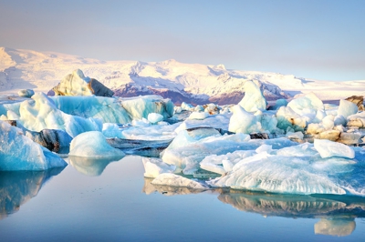
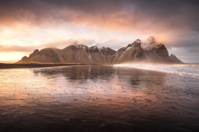
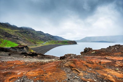
This Iceland landscape photography map gives photographers 62 GPS viewpoints for glacier lagoons, black sand beaches, volcanic terrain, mountain roads, coastal cliffs, and aurora foregrounds. Download KML, GPX, and GeoJSON files, then use seasonal guidance, access notes, and distance context to move beyond a generic Ring Road checklist and prioritize the best light.

The landscape map is strongest for Ring Road and South Coast planning: Jökulsárlón, Stokksnes, Dyrhólaey, Reynisfjara, Snæfellsnes, and highland viewpoints all sit in one route-ready file.
Secure checkout by Stripe · refund & terms
Every location, at its real position
62landscape locations
Loads an interactive map · about 250 KB
Popular landscape locations in this map
Photographer field notes
- Use a 16-24mm lens when the foreground and changing sky both carry the composition; switch longer when distant layers are the subject.
- Plan for blue hour as well as sunrise and sunset. Iceland's long twilight often gives softer, more even light than the brief golden-hour peak.
- A polarizing filter can reduce glare on wet rock and water, but check the sky at wide focal lengths for uneven polarization.
- For pre-dawn starts, sleep only at a legal campsite and verify road conditions before leaving; vehicle camping outside designated sites is restricted.
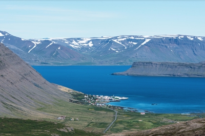
Bíldudalur is a village situated on the coast of Arnarfjörður, part of the Westfjords Region in Iceland.
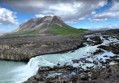
Þjófafoss, a waterfall on the Þjórsá in the Merkurhraun lava field west of Route 26, below the 480 m Búrfell. Búrfellsskógur, the birch wood the entry is named for, lies south of the mountain.
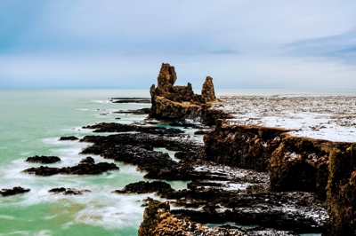
A beautiful viewpoint in Arnarstapi village.
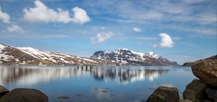
Djúpavík's old herring factory, Djúpavík, Iceland.
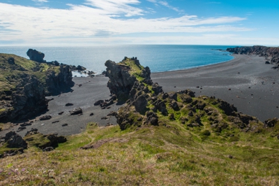
Djúpalónssandur or the Black Lava Pearl Beach.
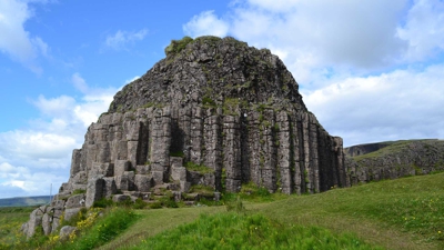
Dverghamrar (Dwarf Rocks), just east of Foss, are peculiar and beautiful formations of columnar basalt located in the southern region of Iceland.
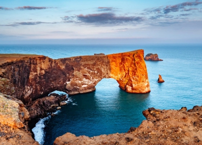
Dyrhólaey, formerly known by seamen as Cape Portland, is a small promontory located on the southern coast of Iceland.
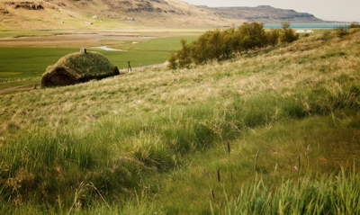
Eiriksstadir - Viking Longhouse. Sit with us by the fire and listen to the historians tell ancient fiction stories of the Vikings. You can try out authentic Viking tools and learn about the know-how, architecture and clothing of the Vikings, all crafted using original tools and methods.
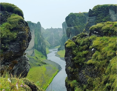
Fjaðrárgljúfur is a canyon in southeast Iceland. The Fjaðrá river flows through it.
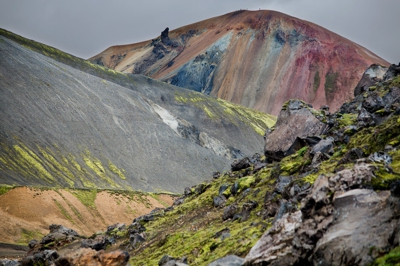
Fjallabak Nature Reserve ("Friðland að Fjallabaki") is an area in the Icelandic Highlands.
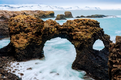
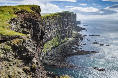
A beautiful viewpoint in Arnarstapi village.
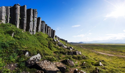
Gerðuberg is a cliff of dolerite, a coarse-grained basalt rock, located on western peninsula Snæfellsnes.
Before you buy
- Reynisfjara Beach and Dritvik Djúpalónssandur are the black sand beaches on the landscape map. Stokksnes and Dyrhólaey are the black-sand headland and dune viewpoints beside them. Each pin carries the season it works and how you get in, and ships as KML, GPX and GeoJSON.
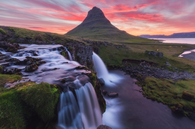
- Yes — the landscape map includes well-known aurora foreground locations (Kirkjufell, Stokksnes, Þingvellir) along with mountain, canyon, and black-sand-beach viewpoints.
- Yes. Each location includes a recommended season. Many are year-round; some highland spots are summer-only and flagged accordingly.
- Yes. Locations are chosen as photography viewpoints rather than broad regions, with GPS coordinates for where to start shooting or navigate from.
- Every map ships in all three formats so you don't have to choose. Use GPX for Gaia GPS, Garmin, or most outdoor apps. Use KML for Google Maps and Google Earth. Use GeoJSON for custom tooling or web maps.
- Yes. Once you import the file into an app like Google Maps (My Maps), Gaia GPS, or Maps.me, the waypoints are stored on your device and work without cell service — which matters, because Iceland's coverage is patchy outside the Ring Road.
- We have step-by-step guides for Google Maps, Google Earth, and Gaia GPS. Most imports take under two minutes.
- Yes — pay once and download the files immediately. There's no subscription. Your download link serves the current files for a year, so when we add locations to a category you can re-download and get them.
- Yes. The files are yours to load onto your phone, a second phone, a tablet, a handheld GPS, or your laptop. Personal-use license.